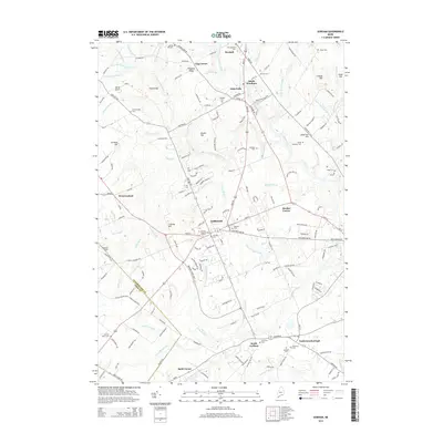
2014 Map of Gorham
USGS Topo · Published 2014About this map
Gorham serves as the central hub of this Cumberland County survey, where the Univ of Southern Maine Gorham campus is situated near the town center. The landscape is defined by the winding courses of the Presumpscot River to the northeast and the Stroudwater River to the south, which drain a series of ridges including Cressey Hill and Pleasant Ridge. For genealogists, the map is particularly dense with family-named landmarks and resting places, from the Old Anderson Cem and Smith Anderson Cem near South Windham to the Harmon Berry Cem in the southwest. Small crossroads and historically distinct neighborhoods like Gag Corner, Mosher Corner, and Babb Corner illustrate the residential development pattern surrounding the larger village. The map also captures the transition from Gorham into North Scarborough, documenting the local road networks and small brooks that have shaped these Maine communities for generations.
Find a feature on this map
184 named features on this map. Tap any name to fly to it.
Don’t see what you’re looking for? This feature index may not catch every label — zoom into the map to look around manually.
Map Details
Editions of this 2014 Gorham Map
This is the sole edition of this map. No revisions or reprints were ever made.
Other maps of this area

1891 · Portland
USGS Topo · 1:62,500

1891 · Buxton
USGS Topo · 1:62,500

1892 · Buxton
USGS Topo · 1:62,500

1893 · Portland
USGS Topo · 1:62,500

1893 · Buxton
USGS Topo · 1:62,500

1894 · Gray
USGS Topo · 1:62,500

1896 · Sebago
USGS Topo · 1:62,500

1898 · Gray
USGS Topo · 1:62,500

1914 · Portland
USGS Topo · 1:48,000

1916 · Portland
USGS Topo · 1:62,500