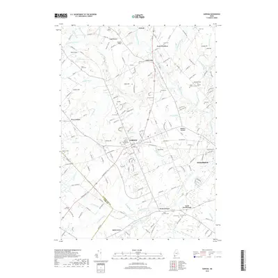
2018 Map of Gorham
USGS Topo · Published 2018About this map
Gorham serves as the focal point of this 2018 survey, centered on the Univ of Southern Maine Gorham campus and the surrounding residential developments. The town's historical foundations are visible in a dense network of family and community burial grounds, including the Eastern Cem, South Street Cem, and North Street Cem. The landscape is defined by the winding paths of the Presumpscot River to the northeast and the Stroudwater River to the south, which historically powered local industry and shaped the layout of settlements like Little Falls and South Windham.
Find a feature on this map
178 named features on this map. Tap any name to fly to it.
Don’t see what you’re looking for? This feature index may not catch every label — zoom into the map to look around manually.
Map Details
Editions of this 2018 Gorham Map
This is the sole edition of this map. No revisions or reprints were ever made.
Other maps of this area

1891 · Portland
USGS Topo · 1:62,500

1891 · Buxton
USGS Topo · 1:62,500

1892 · Buxton
USGS Topo · 1:62,500

1893 · Portland
USGS Topo · 1:62,500

1893 · Buxton
USGS Topo · 1:62,500

1894 · Gray
USGS Topo · 1:62,500

1896 · Sebago
USGS Topo · 1:62,500

1898 · Gray
USGS Topo · 1:62,500

1914 · Portland
USGS Topo · 1:48,000

1916 · Portland
USGS Topo · 1:62,500