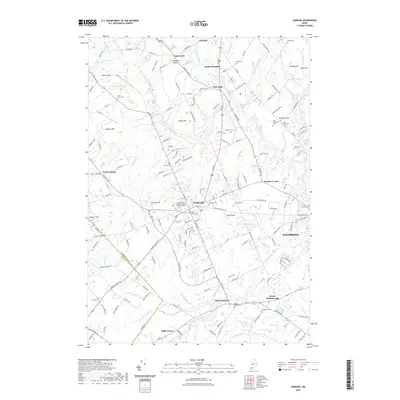
2021 Map of Gorham
USGS Topo · Published 2021About this map
Gorham and its surroundings are defined by the convergence of several major water systems, including the Presumpscot River, Stroudwater River, and Nonesuch River. This modern survey documents a landscape where traditional Maine settlements like South Windham and Little Falls sit alongside the academic footprint of the University of Southern Maine Gorham Campus. The geography is dotted with family-named landmarks and high points such as Smalls Hill and Cressey Hill, reflecting long-established land divisions.
Find a feature on this map
183 named features on this map. Tap any name to fly to it.
Don’t see what you’re looking for? This feature index may not catch every label — zoom into the map to look around manually.
Map Details
Editions of this 2021 Gorham Map
This is the sole edition of this map. No revisions or reprints were ever made.
Other maps of this area

1891 · Portland
USGS Topo · 1:62,500

1891 · Buxton
USGS Topo · 1:62,500

1892 · Buxton
USGS Topo · 1:62,500

1893 · Portland
USGS Topo · 1:62,500

1893 · Buxton
USGS Topo · 1:62,500

1894 · Gray
USGS Topo · 1:62,500

1896 · Sebago
USGS Topo · 1:62,500

1898 · Gray
USGS Topo · 1:62,500

1914 · Portland
USGS Topo · 1:48,000

1916 · Portland
USGS Topo · 1:62,500