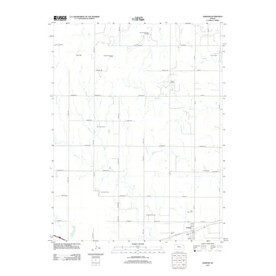
2012 Map of Gorham
USGS Topo · Published 2012About this map
Gorham sits at the southern edge of this Russell County landscape, where the grain elevators and residential streets give way to the sprawling infrastructure of the Kansas oil patch. The town center is anchored by its Po and the nearby Gorham Cem, while the historic Saint Mary's Cem lies just to the north along the road to the oil fields. This area is defined by its energy production, with numerous named patches including the Fairport Oil Field, Emmeram Oil Field, and Airbase East Oil Field scattered across the section lines.
Find a feature on this map
49 named features on this map. Tap any name to fly to it.
Don’t see what you’re looking for? This feature index may not catch every label — zoom into the map to look around manually.
Map Details
Editions of this 2012 Gorham Map
This is the sole edition of this map. No revisions or reprints were ever made.
Other maps of this area

1896 · Osborne
USGS Topo · 1:125,000

1896 · Russell
USGS Topo · 1:125,000

1896 · Hays
USGS Topo · 1:125,000

1896 · Plainville
USGS Topo · 1:125,000

1955 · Great Bend
USGS Topo · 1:250,000

1955 · Beloit
USGS Topo · 1:250,000

1957 · Great Bend
USGS Topo · 1:250,000

1958 · Great Bend
USGS Topo · 1:250,000

1959 · Beloit
USGS Topo · 1:250,000

1961 · Catharine
USGS Topo · 1:24,000