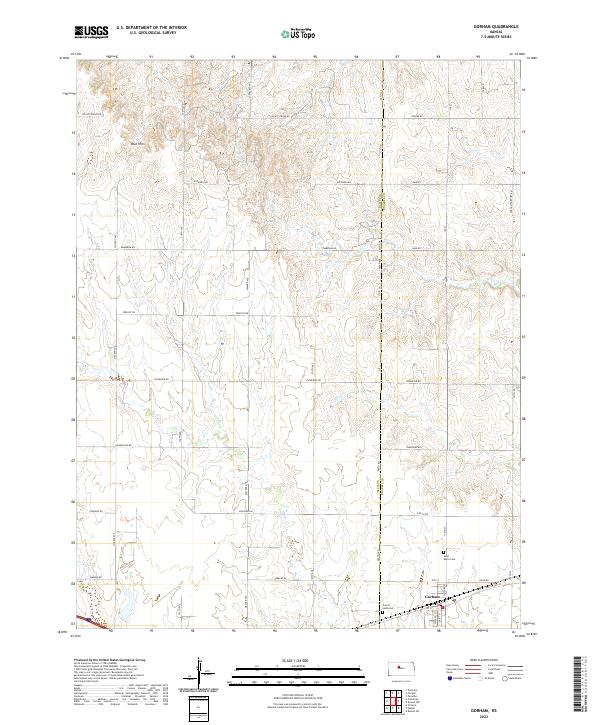
2022 Map of Gorham
USGS Topo · Published 2022About this map
Gorham sits at the southern edge of this West-Central Kansas landscape, where the historical corridor of Old US Hwy 40 and Old Hwy 40 cuts across the plains. The map reveals a structured grid of rural section roads, including Airbase Rd and Reservoir Rd, which navigate a terrain carved by the drainage of Salt Cr and Walker Cr. Genealogists will find the locations of Saint Marys Cem and Prairie Lawn Cem near the town site, serving as vital anchors for local family history research.
Find a feature on this map
45 named features on this map. Tap any name to fly to it.
Don’t see what you’re looking for? This feature index may not catch every label — zoom into the map to look around manually.
Map Details
Editions of this 2022 Gorham Map
This is the sole edition of this map. No revisions or reprints were ever made.
Other maps of this area

1896 · Osborne
USGS Topo · 1:125,000

1896 · Russell
USGS Topo · 1:125,000

1896 · Hays
USGS Topo · 1:125,000

1896 · Plainville
USGS Topo · 1:125,000

1955 · Great Bend
USGS Topo · 1:250,000

1955 · Beloit
USGS Topo · 1:250,000

1957 · Great Bend
USGS Topo · 1:250,000

1958 · Great Bend
USGS Topo · 1:250,000

1959 · Beloit
USGS Topo · 1:250,000

1961 · Catharine
USGS Topo · 1:24,000