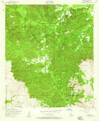
1954 Map of Gorum
USGS Topo · Published 1959About this map
Kisatchie National Forest dominates this mid-century landscape where Natchitoches Parish meets Rapides Parish. The settlement patterns in this area of Louisiana are defined by the dense topography of ridges like Chopin Camp Ridge and the winding drainages of Bayou Barbue, Bayou Pierre, and Bayou Cypre.
Find a feature on this map
23 named features on this map. Tap any name to fly to it.
Don’t see what you’re looking for? This feature index may not catch every label — zoom into the map to look around manually.
Map Details
Editions of this 1954 Gorum Map
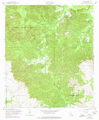
2 editions found
Other maps of this area

1937 · Chopin NE
USGS Topo · 1:31,680

1937 · Chopin SW
USGS Topo · 1:31,680

1937 · Chopin NW
USGS Topo · 1:31,680

1937 · Aloha
USGS Topo · 1:31,680

1937 · Montgomery
USGS Topo · 1:62,500

1937 · Chopin SE
USGS Topo · 1:31,680

1937 · Cloutierville
USGS Topo · 1:31,680

1937 · Cypress
USGS Topo · 1:31,680

1942 · Kisatchie
USGS Topo · 1:62,500

1942 · Montgomery
USGS Topo · 1:62,500