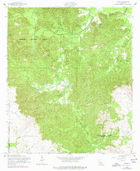
1954 Map of Gorum
USGS Topo · Published 1977About this map
The settlement of Gorum serves as a central point in this mid-century survey of the rugged piney woods along the Natchitoches Parish and Rapides Parish line. Much of the western landscape is dominated by the Kisatchie National Forest, where a network of watercourses like Horsehead Creek and Little Bayou Pierre carve through the terrain. The map captures a transitional era for the local timber industry, evidenced by the prominent Old Railroad Grade winding through the southeastern quadrant and the presence of an Observation Tower used for forest management.
Find a feature on this map
27 named features on this map. Tap any name to fly to it.
Don’t see what you’re looking for? This feature index may not catch every label — zoom into the map to look around manually.
Map Details
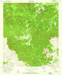
Editions of this 1954 Gorum Map
2 editions found
Other maps of this area

1937 · Chopin NE
USGS Topo · 1:31,680

1937 · Chopin SW
USGS Topo · 1:31,680

1937 · Chopin NW
USGS Topo · 1:31,680

1937 · Aloha
USGS Topo · 1:31,680

1937 · Montgomery
USGS Topo · 1:62,500

1937 · Chopin SE
USGS Topo · 1:31,680

1937 · Cloutierville
USGS Topo · 1:31,680

1937 · Cypress
USGS Topo · 1:31,680

1942 · Kisatchie
USGS Topo · 1:62,500

1942 · Montgomery
USGS Topo · 1:62,500