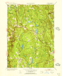
1955 Map of Goshen
USGS Topo · Published 1956About this map
The hill country of western Massachusetts is documented here during the mid-1950s, centering on the village of Goshen. This survey highlights a landscape of high-altitude water bodies and significant topographical relief, defined by features like Highland Lakes and the sprawling Daughters of the American Revolution State Forest. To the south, the settlement of Chesterfield sits above the steep slopes of Bagg Ledges, overlooking the West Branch Westfield River. The map captures a moment when the region's agricultural past was increasingly giving way to recreational and conservation land use, as seen by the presence of Camp Howe and numerous protected forest tracts. Local history researchers will find clear markers of early settlement, including Lithia and the Goshen Cem, alongside a complex network of backroads such as Stage Road and Petticoat Hill Road that follow the natural contours of the Berkshire foothills.
Find a feature on this map
67 named features on this map. Tap any name to fly to it.
Don’t see what you’re looking for? This feature index may not catch every label — zoom into the map to look around manually.
Map Details
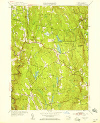
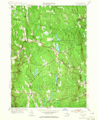
Editions of this 1955 Goshen Map
3 editions found
Other maps of this area

1885 · Northampton
USGS Topo · 1:62,500

1886 · Hawley
USGS Topo · 1:62,500

1886 · Chesterfield
USGS Topo · 1:62,500

1886 · Northampton
USGS Topo · 1:62,500

1888 · Chesterfield
USGS Topo · 1:62,500

1890 · Hawley
USGS Topo · 1:62,500

1890 · Greenfield
USGS Topo · 1:62,500

1891 · Northampton
USGS Topo · 1:62,500

1893 · Northampton
USGS Topo · 1:62,500

1893 · Chesterfield
USGS Topo · 1:62,500