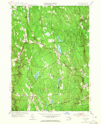
1955 Map of Goshen
USGS Topo · Published 1965About this map
The hills of Hampshire County come alive in this mid-century survey, centered on the village of Goshen and the expansive Daughters of the American Revolution State Forest. This landscape is defined by its dramatic relief and intricate water systems, from the winding Westfield River and the North Branch Swift River to the prominent Highland Lakes. The map captures the post-war rural character of the region, where family-named landmarks like Bagg Ledges and Mollison Hill rise above numerous meadows and ponds.
Find a feature on this map
70 named features on this map. Tap any name to fly to it.
Don’t see what you’re looking for? This feature index may not catch every label — zoom into the map to look around manually.
Map Details
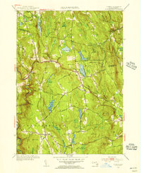
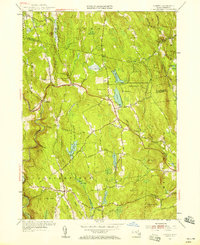
Editions of this 1955 Goshen Map
3 editions found
Other maps of this area

1885 · Northampton
USGS Topo · 1:62,500

1886 · Hawley
USGS Topo · 1:62,500

1886 · Chesterfield
USGS Topo · 1:62,500

1886 · Northampton
USGS Topo · 1:62,500

1888 · Chesterfield
USGS Topo · 1:62,500

1890 · Hawley
USGS Topo · 1:62,500

1890 · Greenfield
USGS Topo · 1:62,500

1891 · Northampton
USGS Topo · 1:62,500

1893 · Northampton
USGS Topo · 1:62,500

1893 · Chesterfield
USGS Topo · 1:62,500