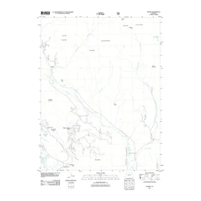
2011 Map of Gothic
USGS Topo · Published 2011About this map
Mount Crested Butte serves as the primary residential hub in this high-altitude landscape, where modern road networks like Peakview Dr and Summit Rd contrast with the area's older mining and ranching legacy. To the north, the small settlement of Gothic sits at the base of Snodgrass Mountain, while evidence of earlier industry remains at the Horace Porter Mine. The terrain is defined by high basins and peaks, including Avery Peak and Teocalli Mountain, connected by primitive passes such as Coffeepot Pass and Triangle Pass.
Find a feature on this map
47 named features on this map. Tap any name to fly to it.
Don’t see what you’re looking for? This feature index may not catch every label — zoom into the map to look around manually.
Map Details
Editions of this 2011 Gothic Map
This is the sole edition of this map. No revisions or reprints were ever made.
Other maps of this area

1888 · Crested Butte
USGS Topo · 1:62,500

1888 · Anthracite
USGS Topo · 1:62,500

1889 · Crested Butte
USGS Topo · 1:62,500

1889 · Anthracite
USGS Topo · 1:62,500

1893 · Anthracite
USGS Topo · 1:62,500

1893 · Crested Butte
USGS Topo · 1:62,500

1893 · Aspen
USGS Topo · 1:62,500

1894 · Anthracite
USGS Topo · 1:62,500

1895 · Aspen
USGS Topo · 1:62,500

1909 · Mount Jackson
USGS Topo · 1:125,000