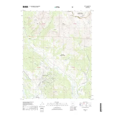
2019 Map of Gothic
USGS Topo · Published 2019About this map
The high-altitude landscape of the Elk Mountains dominates this 2019 survey, defined by the sharp peaks of Avery Peak, White Rock Mtn, and Teocalli Mtn. The settlement of Gothic sits in the valley of Copper Cr near Judd Falls, serving as a gateway to the high passes of the White River National Forest and Gunnison National Forest. To the south, the expansion of Mount Crested Butte is evident in the dense network of recreation and mountain biking trails including the Meander Trail, Prospector Trail, and Painter Boy Trail. This modern record captures the intersection of wilderness preservation and resort development, showing how the local economy has shifted toward seasonal tourism and outdoor recreation. The map also includes the Crested Butte Cemetery and the northern residential extent of Crested Butte near the Slate River.
Find a feature on this map
88 named features on this map. Tap any name to fly to it.
Don’t see what you’re looking for? This feature index may not catch every label — zoom into the map to look around manually.
Map Details
Editions of this 2019 Gothic Map
This is the sole edition of this map. No revisions or reprints were ever made.
Other maps of this area
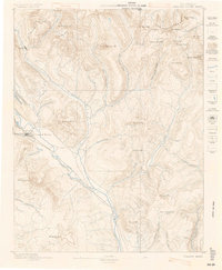
1888 · Crested Butte
USGS Topo · 1:62,500
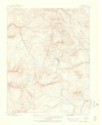
1888 · Anthracite
USGS Topo · 1:62,500
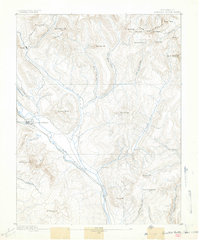
1889 · Crested Butte
USGS Topo · 1:62,500
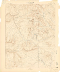
1889 · Anthracite
USGS Topo · 1:62,500
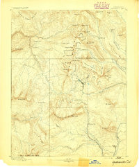
1893 · Anthracite
USGS Topo · 1:62,500
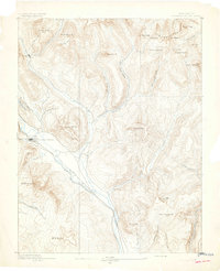
1893 · Crested Butte
USGS Topo · 1:62,500
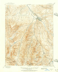
1893 · Aspen
USGS Topo · 1:62,500
1894 · Anthracite
USGS Topo · 1:62,500
1895 · Aspen
USGS Topo · 1:62,500
1909 · Mount Jackson
USGS Topo · 1:125,000