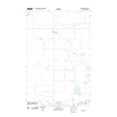
2011 Map of Gould City
USGS Topo · Published 2011About this map
Gould City and the nearby settlement of Corinne serve as the primary hubs in this coastal Mackinac County landscape as it appeared in the early 21st century. Situated near the northern shores of Lake Michigan, the area is defined by a dense network of water features and wetlands, including Scrams Marsh and the waters of Duel Lake, Browns Lake, and Turtle Lake. The terrestrial layout is dominated by a grid of rural routes such as N Gould City Rd and Hiawatha Trl, which connect isolated homesites and the central Gould City Post Office. For those researching local lineages, the Polly Family Cemetery is a significant landmark located along Polly Rd, indicating the deep-rooted family ties to this portion of Newton Township. The drainage of McEachern Creek and Shedowin Creek underscores the low-lying, hydrologically active nature of this Upper Peninsula region.
Find a feature on this map
35 named features on this map. Tap any name to fly to it.
Don’t see what you’re looking for? This feature index may not catch every label — zoom into the map to look around manually.
Map Details
Editions of this 2011 Gould City Map
This is the sole edition of this map. No revisions or reprints were ever made.
Other maps of this area

1931 · Gould City NE
USGS Topo · 1:31,680

1931 · Seul Choix Point NE
USGS Topo · 1:31,680

1931 · Gould City NW
USGS Topo · 1:31,680

1931 · Blaney NE
USGS Topo · 1:31,680

1931 · Gould City SE
USGS Topo · 1:31,680

1931 · Blaney SE
USGS Topo · 1:31,680

1954 · Sault Sainte Marie
USGS Topo · 1:250,000

1955 · Cheboygan
USGS Topo · 1:250,000

1956 · Sault Sainte Marie
USGS Topo · 1:250,000

1957 · Sault Sainte Marie
USGS Topo · 1:250,000