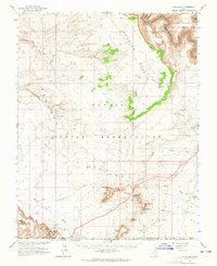
1963 Map of Goulding
USGS Topo · Published 1965About this map
Valley of the Gods and the northern reaches of the Navajo Indian Reservation dominate this mid-century survey along the Utah-Arizona border. The map documents a sparse landscape where survival and commerce are anchored at Goulding, which includes a Trading Post and Mission. The surveying, conducted in cooperation with the Atomic Energy Commission, captures the area just as the Glen Canyon National Recreation Area was established following the completion of the Glen Canyon Dam. Significant landmarks such as Sentinel Mesa, Mitchell Butte, and the striking Setting Hen tower over the Monument Pass corridor. Human presence is marked by a Landing Strip, isolated mines, and ancient Cliff Dwellings, while the San Juan River snakes through the deep canyons to the north near Johns Canyon.
Find a feature on this map
45 named features on this map. Tap any name to fly to it.
Don’t see what you’re looking for? This feature index may not catch every label — zoom into the map to look around manually.
Map Details
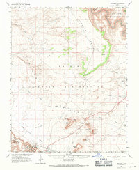
Editions of this 1963 Goulding Map
2 editions found
Other maps of this area

1883 · Marsh Pass
USGS Topo · 1:250,000

1886 · Henry Mountains
USGS Topo · 1:250,000

1886 · Abajo
USGS Topo · 1:250,000

1892 · Marsh Pass
USGS Topo · 1:250,000

1892 · Abajo
USGS Topo · 1:250,000

1892 · Henry Mountains
USGS Topo · 1:250,000

1892 · Canyon De Chelly
USGS Topo · 1:250,000

1893 · Abajo
USGS Topo · 1:250,000

1952 · Clay Hills 4 SW
USGS Topo · 1:24,000

1952 · Clay Hills 3 SE
USGS Topo · 1:24,000