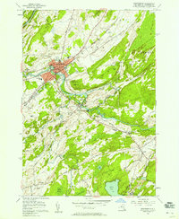
1956 Map of Gouverneur
USGS Topo · Published 1958About this map
The Oswegatchie River defines the landscape of this St. Lawrence County region in the mid-1950s, curving sharply through the village of Gouverneur. This area shows a bustling local economy centered on the New York Central railroad and significant industrial activity, including numerous quarries and the No 3 Shaft and No 2 Shaft mining operations near Balmat.
Find a feature on this map
51 named features on this map. Tap any name to fly to it.
Don’t see what you’re looking for? This feature index may not catch every label — zoom into the map to look around manually.
Map Details
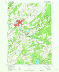
Editions of this 1956 Gouverneur Map
2 editions found
Other maps of this area

1911 · Antwerp
USGS Topo · 1:62,500

1912 · Hammond
USGS Topo · 1:62,500

1913 · Lake Bonaparte
USGS Topo · 1:62,500

1915 · Gouverneur
USGS Topo · 1:62,500

1916 · Lake Bonaparte
USGS Topo · 1:62,500

1937 · Gouverneur
USGS Topo · 1:62,500

1944 · Hammond
USGS Topo · 1:62,500

1948 · Ogdensburg
USGS Topo · 1:250,000

1949 · Hammond
USGS Topo · 1:62,500

1949 · Antwerp
USGS Topo · 1:62,500