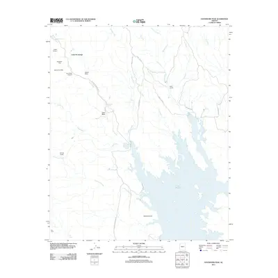
2011 Map of Governors Peak
USGS Topo · Published 2011About this map
Castle Hot Springs stands as a focal point in this desert landscape, where water sources like Hot Spring and Alkali Spring contrast with the surrounding arid terrain. The map traces the rugged geography between the Bradshaw Mountains and the northern reaches of Lake Pleasant, showing a network of washes and canyons including Crater Canyon and Four Tanks Canyon. This area is defined by its transition from high peaks like Governors Peak and Salvation Peak down toward the seasonal drainages of Castle Creek and Cottonwood Creek.
Find a feature on this map
36 named features on this map. Tap any name to fly to it.
Don’t see what you’re looking for? This feature index may not catch every label — zoom into the map to look around manually.
Map Details
Editions of this 2011 Governors Peak Map
This is the sole edition of this map. No revisions or reprints were ever made.
Other maps of this area

1887 · Prescott
USGS Topo · 1:250,000

1892 · Prescott
USGS Topo · 1:250,000

1903 · Bradshaw Mountains
USGS Topo · 1:125,000

1947 · Crown King
USGS Topo · 1:62,500

1947 · Bumblebee
USGS Topo · 1:62,500

1948 · Bumblebee
USGS Topo · 1:63,360

1948 · Crown King
USGS Topo · 1:63,360

1950 · Crown King
USGS Topo · 1:62,500

1950 · Bumblebee
USGS Topo · 1:62,500

1950 · Prescott
USGS Topo · 1:250,000