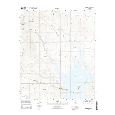
2014 Map of Governors Peak
USGS Topo · Published 2014About this map
Casa Rosa sits amidst the desert landscape of Maricopa County, highlighting a sparse settlement pattern characteristic of this arid region. This mapping from the U.S. Geological Survey captures the area as it appeared in the early 21st century, focusing on the essential water sources that dictate local geography, such as Alkali Spring. The layout provides a clear view of how terrain and limited water features influence habitation and land use in this part of Arizona. By documenting these specific named locations, the survey serves as a precise reference for the physical and human geography of the Governors Peak quadrangle.
Find a feature on this map
2 named features on this map. Tap any name to fly to it.
Don’t see what you’re looking for? This feature index may not catch every label — zoom into the map to look around manually.
Map Details
Editions of this 2014 Governors Peak Map
This is the sole edition of this map. No revisions or reprints were ever made.
Other maps of this area

1887 · Prescott
USGS Topo · 1:250,000

1892 · Prescott
USGS Topo · 1:250,000

1903 · Bradshaw Mountains
USGS Topo · 1:125,000

1947 · Crown King
USGS Topo · 1:62,500

1947 · Bumblebee
USGS Topo · 1:62,500

1948 · Bumblebee
USGS Topo · 1:63,360

1948 · Crown King
USGS Topo · 1:63,360

1950 · Crown King
USGS Topo · 1:62,500

1950 · Bumblebee
USGS Topo · 1:62,500

1950 · Prescott
USGS Topo · 1:250,000