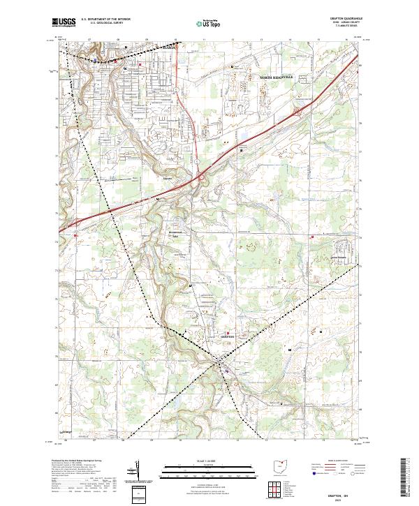
2023 Map of Grafton
USGS Topo · Published 2023About this map
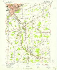
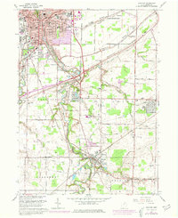
The East Branch Black River and West Branch Black River converge toward the northern reaches of this Lorain County landscape, defining a terrain shaped by prominent glacial features like Sugar Ridge, Butternut Ridge, and Chestnut Ridge. These elevated ridges traditionally served as natural corridors for early transport, now reflected in the modern road network that connects the urban edges of Elyria and North Ridgeville with the southern village of Grafton. Between these centers, smaller communities such as Laporte and Brentwood are visible alongside specialized infrastructure like the Elyria Airport.
Find a feature on this map
67 named features on this map. Tap any name to fly to it.
Don’t see what you’re looking for? This feature index may not catch every label — zoom into the map to look around manually.
Map Details
Editions of this 2023 Grafton Map
This is the sole edition of this map. No revisions or reprints were ever made.