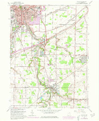
1963 Map of Grafton
USGS Topo · Published 1979About this map
The East Branch Black River and West Branch Black River converge in the northern portion of this Lorain County study, framing the southern expansion of Elyria. The landscape is defined by its glacial heritage, clearly visible in the parallel orientations of Sugar Ridge, Chestnut Ridge, and Butternut Ridge. These elevated features historically dictated settlement and transport patterns, now occupied by cemeteries like Sugar Ridge Cem and Butternut Ridge Cem.
Find a feature on this map
56 named features on this map. Tap any name to fly to it.
Don’t see what you’re looking for? This feature index may not catch every label — zoom into the map to look around manually.
Map Details
Editions of this 1963 Grafton Map
4 editions found
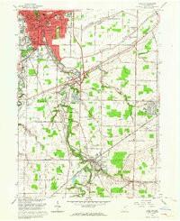
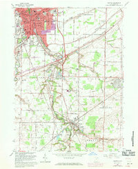
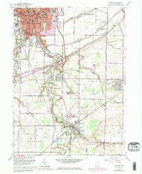
Other maps of this area

1901 · Oberlin
USGS Topo · 1:62,500

1902 · Berea
USGS Topo · 1:62,500

1903 · Oberlin
USGS Topo · 1:62,500

1904 · Berea
USGS Topo · 1:62,500

1904 · Medina
USGS Topo · 1:62,500

1904 · Wellington
USGS Topo · 1:62,500

1906 · Medina
USGS Topo · 1:62,500

1906 · Wellington
USGS Topo · 1:62,500

1950 · Cleveland
USGS Topo · 1:250,000

1953 · West View
USGS Topo · 1:24,000