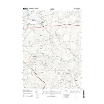
2015 Map of Grafton
USGS Topo · Published 2015About this map
The Blackstone River and Quinsigamond River valleys anchor this landscape, where the historical industrial corridor of Worcester County is visible through numerous millponds and reservoirs. Clusters of settlements such as Fisherville, Saundersville, and Farnumsville illustrate the dense residential patterns that formed around river-powered manufacturing. Higher ground to the west and north is defined by landmarks like Brigham Hill and Potter Hill, while the southern portion of the sheet features the striking geological formation of Purgatory Chasm.
Find a feature on this map
87 named features on this map. Tap any name to fly to it.
Don’t see what you’re looking for? This feature index may not catch every label — zoom into the map to look around manually.
Map Details
Editions of this 2015 Grafton Map
This is the sole edition of this map. No revisions or reprints were ever made.
Other maps of this area

1885 · Worcester
USGS Topo · 1:62,500

1886 · Worcester
USGS Topo · 1:62,500

1886 · Blackstone
USGS Topo · 1:62,500

1887 · Marlboro
USGS Topo · 1:62,500

1889 · Marlboro
USGS Topo · 1:62,500

1889 · Blackstone
USGS Topo · 1:62,500

1889 · Webster
USGS Topo · 1:62,500

1892 · Webster
USGS Topo · 1:62,500

1892 · Worcester
USGS Topo · 1:62,500

1893 · Blackstone
USGS Topo · 1:62,500