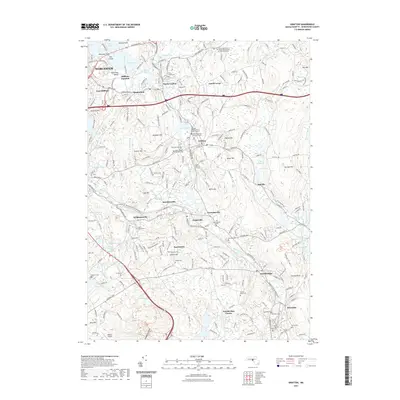
2021 Map of Grafton
USGS Topo · Published 2021About this map
The Blackstone River valley dominates this landscape, serving as a corridor for settlement and modern recreation. The industrial heritage of the region is evident in the string of villages along its banks, including Fisherville, Saundersville, and Farnumsville, where the river's power once drove local mills. Cultural and ancestral history is preserved at several distinct sites, most notably the Hassanamisco Burial Ground and the Indian Burying Ground, which reflect the area's indigenous heritage alongside colonial-era landmarks like the Old Oak Street Burial Ground.
Find a feature on this map
79 named features on this map. Tap any name to fly to it.
Don’t see what you’re looking for? This feature index may not catch every label — zoom into the map to look around manually.
Map Details
Editions of this 2021 Grafton Map
This is the sole edition of this map. No revisions or reprints were ever made.
Other maps of this area

1885 · Worcester
USGS Topo · 1:62,500

1886 · Worcester
USGS Topo · 1:62,500

1886 · Blackstone
USGS Topo · 1:62,500

1887 · Marlboro
USGS Topo · 1:62,500

1889 · Marlboro
USGS Topo · 1:62,500

1889 · Blackstone
USGS Topo · 1:62,500

1889 · Webster
USGS Topo · 1:62,500

1892 · Webster
USGS Topo · 1:62,500

1892 · Worcester
USGS Topo · 1:62,500

1893 · Blackstone
USGS Topo · 1:62,500