
1949 Map of Grand Bayou Du Large
USGS Topo · Published 1949About this map
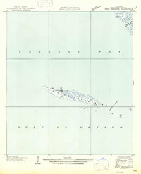
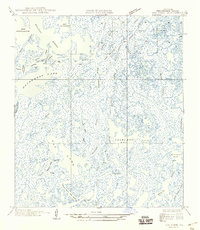
Grand Bayou Du Large and Bayou Grand Caillou snake through the marshy expanse of coastal Terrebonne Parish in this mid-century survey. Compiled from aerial photographs taken by the Air Corps and U.S. Army, the map documents a complex aquatic landscape of brackish bays and tidal channels before modern erosion significantly reshaped the Gulf coastline. The interior is dominated by Caillou Lake and Bay Voisin, while smaller arteries like Fish Bayou and Redfish Bayou provide a detailed view of the hydraulic patterns defining the southern Louisiana wetlands. This document captures the intricate shoreline of Caillou Bay and specific navigational points like Mile Pass and Bay Moncleuse, serving as a foundational record of the region's coastal geomorphology during the post-war era.
Find a feature on this map
13 named features on this map. Tap any name to fly to it.
Don’t see what you’re looking for? This feature index may not catch every label — zoom into the map to look around manually.
Map Details
Editions of this 1949 Grand Bayou Du Large Map
This is the sole edition of this map. No revisions or reprints were ever made.
Other maps of this area

1894 · Bayou De Large
USGS Topo · 1:62,500

1932 · Lake Decade
USGS Topo · 1:62,500

1935 · Lake Mechant
USGS Topo · 1:31,680

1935 · Oyster Bayou
USGS Topo · 1:62,500

1940 · Bayou Du Large
USGS Topo · 1:62,500

1941 · Bayou Du Large
USGS Topo · 1:62,500

1944 · Bayou Du Large
USGS Topo · 1:62,500

1945 · New Orleans
USGS Topo · 1:250,000
1947 · West Derniere
USGS Topo · 1:31,680
1949 · Dog Lake
USGS Topo · 1:31,680