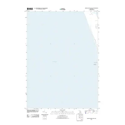
2011 Map of Grand Haven OE W
USGS Topo · Published 2011About this map
Lake Michigan dominates this coastal survey, which captures the lakefront and shoreline just north of the Grand River entrance. Navigational landmarks for mariners are clearly indicated at the water's edge, specifically the North Pierh Light and the South Pierh Entry Light. The map documents a thin strip of the Michigan coast where residential infrastructure like N Shore Estates Rd winds through the dunes and wooded areas. In the northern reaches of the sheet, the map shows the western edge of Little Black Lake, illustrating the proximity of these smaller coastal bodies to the Great Lake. This 2011 edition focuses heavily on the aquatic interface and the essential lights that guide traffic along the Lake Michigan shoreline.
Find a feature on this map
5 named features on this map. Tap any name to fly to it.
Don’t see what you’re looking for? This feature index may not catch every label — zoom into the map to look around manually.
Map Details
Editions of this 2011 Grand Haven OE W Map
This is the sole edition of this map. No revisions or reprints were ever made.
Other maps of this area

1929 · Holland
USGS Topo · 1:62,500

1930 · Lake Harbor
USGS Topo · 1:48,000

1930 · Muskegon
USGS Topo · 1:62,500

1932 · Holland
USGS Topo · 1:62,500

1936 · Muskegon
USGS Topo · 1:62,500

1936 · Lake Harbor
USGS Topo · 1:62,500

1954 · Milwaukee
USGS Topo · 1:250,000

1958 · Milwaukee
USGS Topo · 1:250,000

1958 · Racine
USGS Topo · 1:250,000

1962 · Racine
USGS Topo · 1:250,000