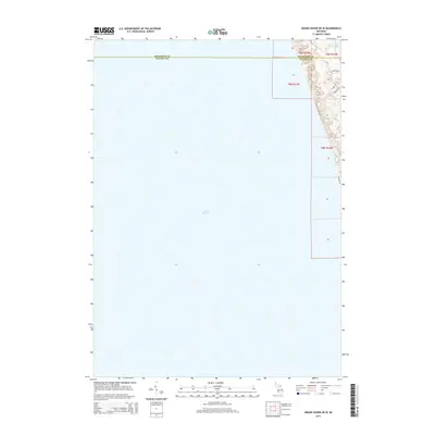
2014 Map of Grand Haven OE W
USGS Topo · Published 2014About this map
Lake Michigan dominates this coastal landscape where the border of Muskegon and Ottawa counties meets the eastern shoreline. The map focuses on the slender strip of dunes and residential development perched between the great lake and the interior. Small residential corridors like N Shore Dr and N Shore Estates Rd follow the north-south orientation of the coast, reflecting late-twentieth-century residential patterns along the waterfront. To the north, the transition from open water to shoreline is marked by the presence of Little Black Lake, which sits just inland from the primary beach ridge. Local access is defined by specialized roads such as Hoffmaster Dr, providing a look at the infrastructure required to manage the delicate topography of the Lake Michigan dunes.
Find a feature on this map
12 named features on this map. Tap any name to fly to it.
Don’t see what you’re looking for? This feature index may not catch every label — zoom into the map to look around manually.
Map Details
Editions of this 2014 Grand Haven OE W Map
This is the sole edition of this map. No revisions or reprints were ever made.
Other maps of this area

1929 · Holland
USGS Topo · 1:62,500

1930 · Lake Harbor
USGS Topo · 1:48,000

1930 · Muskegon
USGS Topo · 1:62,500

1932 · Holland
USGS Topo · 1:62,500

1936 · Muskegon
USGS Topo · 1:62,500

1936 · Lake Harbor
USGS Topo · 1:62,500

1954 · Milwaukee
USGS Topo · 1:250,000

1958 · Milwaukee
USGS Topo · 1:250,000

1958 · Racine
USGS Topo · 1:250,000

1962 · Racine
USGS Topo · 1:250,000