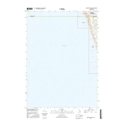
2017 Map of Grand Haven OE W
USGS Topo · Published 2017About this map
Lake Michigan dominates this coastal survey, where the deep blue of the open water meets the wooded dunes and residential developments of Norton Shores. The map documents a specific section of the Michigan shoreline where Muskegon and Ottawa counties meet, showing the interface between the lake and the small inland Little Black Lake. This 2017 study illustrates the modern road network designed to navigate the shifting topography of the lakefront, including Hoffmaster Dr and the winding N Shore Estates Rd. The street names, such as Sioux Dr and Iroquois Dr, reflect the subdivision character of the lakefront communities north of the county line, while large sections of the quadrangle remain dedicated to the vast, open waters of the Great Lakes.
Find a feature on this map
13 named features on this map. Tap any name to fly to it.
Don’t see what you’re looking for? This feature index may not catch every label — zoom into the map to look around manually.
Map Details
Editions of this 2017 Grand Haven OE W Map
This is the sole edition of this map. No revisions or reprints were ever made.
Other maps of this area

1929 · Holland
USGS Topo · 1:62,500

1930 · Lake Harbor
USGS Topo · 1:48,000

1930 · Muskegon
USGS Topo · 1:62,500

1932 · Holland
USGS Topo · 1:62,500

1936 · Muskegon
USGS Topo · 1:62,500

1936 · Lake Harbor
USGS Topo · 1:62,500

1954 · Milwaukee
USGS Topo · 1:250,000

1958 · Milwaukee
USGS Topo · 1:250,000

1958 · Racine
USGS Topo · 1:250,000

1962 · Racine
USGS Topo · 1:250,000