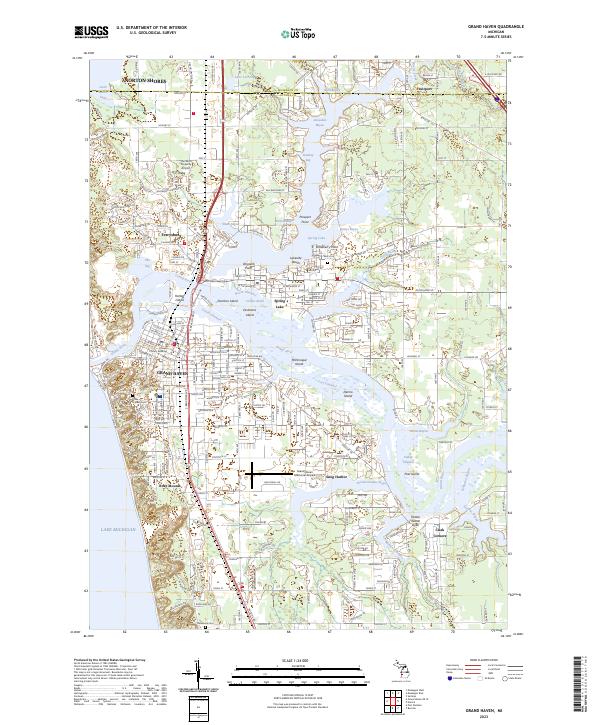
2023 Map of Grand Haven
USGS Topo · Published 2023About this map
Grand Haven stands as a pivotal coastal hub where the Grand River meets the eastern shores of Lake Michigan. This 2023 survey illustrates a complex riparian landscape defined by an intricate network of channels and bayous, including the North Channel, South Channel, and Indian Channel. The urban core is densely structured with a traditional grid, anchored by the Ottawa County Building, while the neighboring communities of Ferrysburg and Spring Lake are connected by a series of bridges and islands like Harbor Island and Dornbos Island.
Find a feature on this map
103 named features on this map. Tap any name to fly to it.
Don’t see what you’re looking for? This feature index may not catch every label — zoom into the map to look around manually.
Map Details
Editions of this 2023 Grand Haven Map
This is the sole edition of this map. No revisions or reprints were ever made.
Other maps of this area

1929 · Holland
USGS Topo · 1:62,500

1930 · Lake Harbor
USGS Topo · 1:48,000

1930 · Muskegon
USGS Topo · 1:62,500

1932 · Holland
USGS Topo · 1:62,500

1936 · Muskegon
USGS Topo · 1:62,500

1936 · Lake Harbor
USGS Topo · 1:62,500

1954 · Milwaukee
USGS Topo · 1:250,000

1958 · Milwaukee
USGS Topo · 1:250,000

1958 · Racine
USGS Topo · 1:250,000

1962 · Racine
USGS Topo · 1:250,000