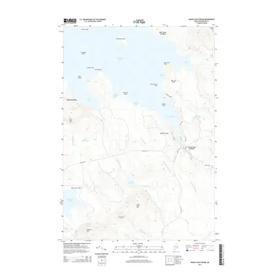
2014 Map of Grand Lake Stream
USGS Topo · Published 2014About this map
Grand Lake Stream serves as the focal point of this northern Washington County landscape, situated at the outlet of West Grand Lake. The settlement is defined by its proximity to the water, with Canal St and Milford Rd anchoring the local road network. The surrounding terrain is a complex system of glacial features and waterways, including the broad reaches of Wabassus Lake to the southwest and Pond Lake in the northeast. Numerous peaks such as Amazon Mtn, Wabassus Mtn, and South Mtn rise above the drainage basins of Grand Lake Brook and Gould Meadow Brook. Historical lake access points like Bear Trap Landing and Indian Landing indicate long-standing patterns of movement through these woods and waters, while modern developments like Dawn Marie Beach highlight the area's transition into a seasonal destination for outdoor recreation.
Find a feature on this map
57 named features on this map. Tap any name to fly to it.
Don’t see what you’re looking for? This feature index may not catch every label — zoom into the map to look around manually.
Map Details
Editions of this 2014 Grand Lake Stream Map
This is the sole edition of this map. No revisions or reprints were ever made.
Other maps of this area

1940 · Waite
USGS Topo · 1:62,500

1941 · Scraggly Lake
USGS Topo · 1:62,500

1941 · Big Lake
USGS Topo · 1:62,500

1941 · Wabassus Lake
USGS Topo · 1:62,500

1942 · Waite
USGS Topo · 1:62,500

1943 · Big Lake
USGS Topo · 1:62,500

1943 · Wabassus Lake
USGS Topo · 1:62,500

1944 · Scraggly Lake
USGS Topo · 1:62,500

1952 · Big Lake
USGS Topo · 1:50,000

1953 · Wabassus Lake
USGS Topo · 1:62,500