2021 Map of Grand Pass
USGS Topo · Published 2021About this map
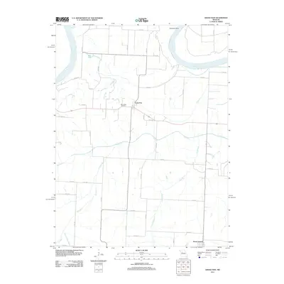
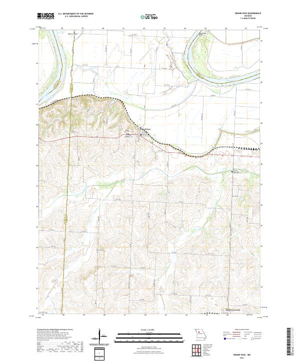
Grand Pass sits atop the high ground of the Missouri River bluffs, overlooking the broad bottomlands to the north. This modern survey illustrates a landscape defined by the winding course of the Missouri River and its associated features like Whites Island and Tamerlane Bend. The village serves as a central hub for a network of rural roads such as Co Rd 414 and Co Rd 407, which connect several local landmarks and burial sites, including Mount Nebo Cem and the Grand Pass Community Cem.
Find a feature on this map
62 named features on this map. Tap any name to fly to it.
Don’t see what you’re looking for? This feature index may not catch every label — zoom into the map to look around manually.
Map Details
Editions of this 2021 Grand Pass Map
This is the sole edition of this map. No revisions or reprints were ever made.
Historical Maps of Mount Leonard Through Time
5 maps found