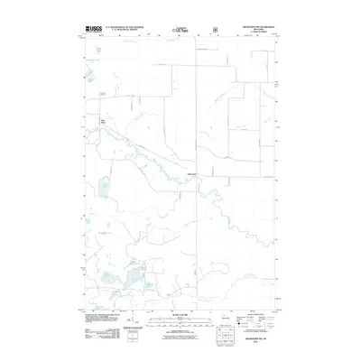
2011 Map of Grandview NW
USGS Topo · Published 2011About this map
White River meanders sharply through this northern Wisconsin landscape, serving as a central geographic feature near the small settlement of Sutherland. The map documents a transition between organized agriculture and the wet, low-lying basins of the Chequamegon-Nicolet National Forest region. To the north, the Pike River area is anchored by the Pike River Cemetery, situated along County Hwy-H and the namesake waterway. The southern reaches are defined by a complex network of glacial water bodies and marshes, including Anodanta Lake, Nymphia Lake, and Star Lake. These wetlands feed into the Long Lake Branch, illustrating the intricate local hydrology. The road network, including Mason-Delta Rd and Sutherland Rd, connects these remote water features to the sparse residential clusters found in this part of Bayfield County.
Find a feature on this map
52 named features on this map. Tap any name to fly to it.
Don’t see what you’re looking for? This feature index may not catch every label — zoom into the map to look around manually.
Map Details
Editions of this 2011 Grandview NW Map
This is the sole edition of this map. No revisions or reprints were ever made.
Other maps of this area

1943 · Iron Lake
USGS Topo · 1:48,000

1944 · Moquah
USGS Topo · 1:48,000

1944 · Drummond
USGS Topo · 1:48,000

1944 · Grandview
USGS Topo · 1:48,000

1947 · Drummond
USGS Topo · 1:48,000

1947 · Moquah
USGS Topo · 1:48,000

1947 · Iron Lake
USGS Topo · 1:48,000

1947 · Grandview
USGS Topo · 1:48,000

1953 · Ashland
USGS Topo · 1:250,000

1958 · Ashland
USGS Topo · 1:250,000