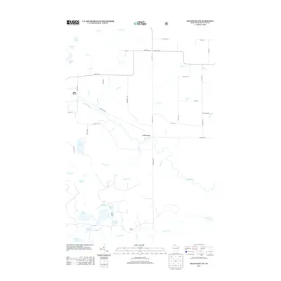
2013 Map of Grandview NW
USGS Topo · Published 2013About this map
The White River carves a winding path across this portion of Bayfield County, serving as the central geographic feature for the small settlement of Sutherland. The landscape is defined by a dense concentration of glacial water bodies in the southwest, including Kern Lake, Cranberry Lake, and Star Lake. A network of rural corridors like Snake Trl and Mason Delta Rd connects these aquatic features to the northern reaches of the quadrangle.
Find a feature on this map
47 named features on this map. Tap any name to fly to it.
Don’t see what you’re looking for? This feature index may not catch every label — zoom into the map to look around manually.
Map Details
Editions of this 2013 Grandview NW Map
This is the sole edition of this map. No revisions or reprints were ever made.
Other maps of this area

1943 · Iron Lake
USGS Topo · 1:48,000

1944 · Moquah
USGS Topo · 1:48,000

1944 · Drummond
USGS Topo · 1:48,000

1944 · Grandview
USGS Topo · 1:48,000

1947 · Drummond
USGS Topo · 1:48,000

1947 · Moquah
USGS Topo · 1:48,000

1947 · Iron Lake
USGS Topo · 1:48,000

1947 · Grandview
USGS Topo · 1:48,000

1953 · Ashland
USGS Topo · 1:250,000

1958 · Ashland
USGS Topo · 1:250,000