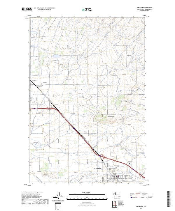
2023 Map of Grandview
USGS Topo · Published 2023About this map
Agricultural development and complex water management define this portion of the Yakima Valley, where Sunnyside and Grandview anchor a landscape organized by irrigation. The critical role of water is evident in the engineered paths of the Sunnyside Canal, Roza Canal, and Outlook Canal, which snake across the terrain to support the region's orchards and fields. Between these two primary hubs lies the settlement of Lichty, situated along the Yakima Valley Hwy near the Sulphur Creek Wasteway.
Find a feature on this map
106 named features on this map. Tap any name to fly to it.
Don’t see what you’re looking for? This feature index may not catch every label — zoom into the map to look around manually.
Map Details
Editions of this 2023 Grandview Map
This is the sole edition of this map. No revisions or reprints were ever made.
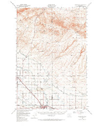
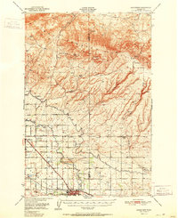
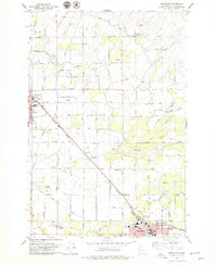
Historical Maps of Yakima County Through Time
4 maps found