Old Maps of Grandview, Washington
Explore 31 old maps of Grandview, spanning from 1915 to today. These high-resolution historic maps reveal how streets, neighborhoods, landmarks, and natural features evolved over time — perfect for genealogy, metal detecting, research, and local history exploration.
What you can do with these maps:
- See how Grandview changed over time: Compare historical maps to modern-day views to trace roads, homesites, rail lines & more.
- View detailed metadata: Each map includes creators, publishers, year, scale, and archive source.
- Overlay maps with satellite & LiDAR: Visualize the past alongside modern tools to explore terrain & human change.
- Trusted historical sources: Maps sourced from the USGS, Library of Congress, and other archives.
- Access maps your way: View online, download high-res files, or order prints for personal or research use.
Start exploring old maps of Grandview to uncover forgotten places, hidden landmarks, and the deep history beneath your feet.
Grandview, WA maps
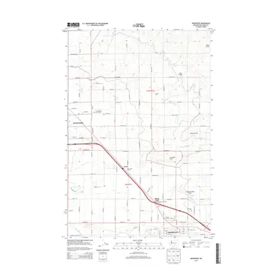
(31)- 1915 Map of Prosser, 1957 Print
 1915 Prosser1957 Print · USGSThe Yakima Valley thrived as a rail and irrigation hub during the early twentieth century. Researchers can trace the layout of early schools and family-named homesteads like Orchard Ridge School, Snively Ranch, and the town of Prosser.
 - 1917 Map of Prosser
 1917 Prosser1917 Print · USGSBenton and Yakima counties thrive in the late teens as irrigation and rail lines transform the desert floor into a budding agricultural hub. Researchers can trace early family homesteads like Benson Ranch and numerous rural landmarks like Buena Vista School and the Gas Well.2 unique versions available
 - 1950 Map of Grandview, 1964 Print
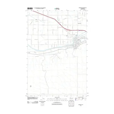
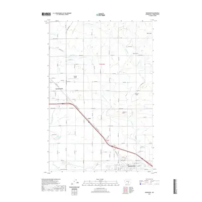
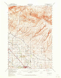 1950 Grandview1964 Print · USGSThe Yakima Valley thrived as a rail and irrigation hub at mid-century, with the Northern Pacific and Union Pacific lines crossing the basin. Genealogists and researchers can trace family-named sites like Bennett Ranch and Forsell alongside the vital Sunnyside Canal.2 unique versions available
 - 1951 Map of Grandview
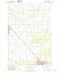
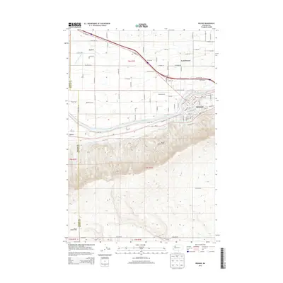
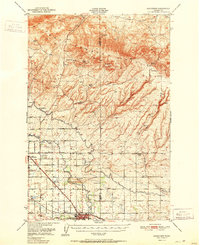 1951 Grandview1951 Print · USGSThe Yakima Valley appears in the early fifties as a hub of irrigation and rail transport. Genealogists and historians can trace the growth of Grandview and Sunnyside alongside landmarks like Bennett Ranch and the Sunnyside Canal.2 unique versions available
 - 1953 Map of Walla Walla, 1964 Print
 1953 Walla Walla1964 Print · USGSSoutheast Washington enters the atomic and hydroelectric age in the mid-twentieth century as new dams reshape the desert landscape. You can trace the development of the Hanford Works, identify remote rail stops like Novara Siding, and locate the historic Dry Creek Cem.3 unique versions available
 - 1958 Map of Walla Walla
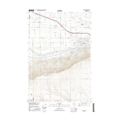
 1958 Walla Walla1958 Print · USGSThe Tri-Cities and Walla Walla region are captured here during the mid-century expansion of atomic energy and river infrastructure. Genealogists and historians can trace the early layout of Richland (AEC), the rural Hatton and Washtucna settlements, and landmarks like Palouse Falls State Park.
 - 1965 Map of Prosser, 1966 Print
 1965 Prosser1966 Print · USGSThe Yakima Valley in the mid-sixties shows a sophisticated network of canals and rail lines serving the growing communities of Prosser and Grandview. Genealogists and local historians can trace family-named sites like Young Ranch, find Mabton Cem, and locate rural schools such as School No 5.
 - 1965 Map of Prosser, 1966 Print
 1965 Prosser1966 Print · USGSProsser and the Yakima River valley are captured in the mid-sixties, showing a landscape defined by irrigation and dual rail lines. Genealogists and local historians can locate the Courthouse, local cemetery, and schools such as Prosser Hts Sch.3 unique versions available
 - 1965 Map of Mabton East, 1967 Print
 1965 Mabton East1967 Print · USGSThe Yakima Valley in the mid-sixties shows a landscape of irrigated orchards and riverfront industry between Mabton and Grandview. Genealogists and local historians can trace family-named landmarks and civic foundations like Artz Sch, Mabton Cemetery, and the Grange Hall.
 - 1978 Map of Grandview, 1979 Print
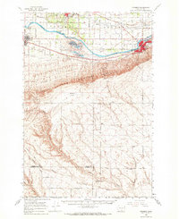
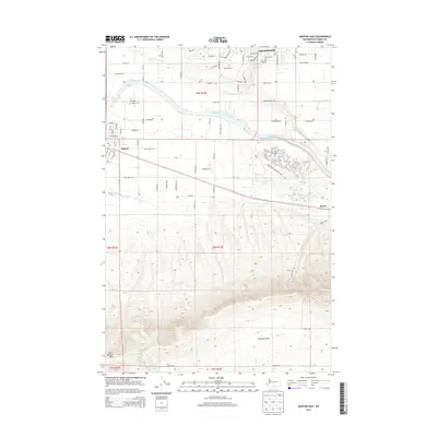
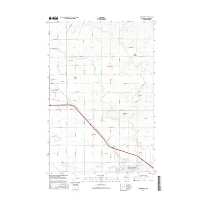
 1978 Grandview1979 Print · USGSThe Yakima Valley thrives between Sunnyside and Grandview in the late seventies, showing a landscape defined by irrigation and rail. Trace the SUNNYSIDE CANAL network alongside landmarks like the Sunnyside-Grandview Speedway and Grange Hall.
 - 1979 Map of Sagebrush Ridge, 1980 Print
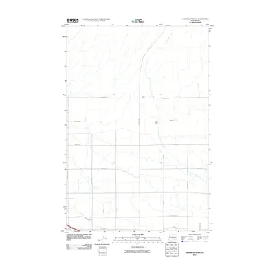
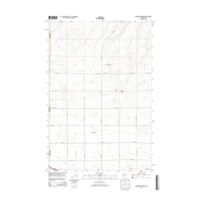
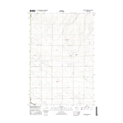
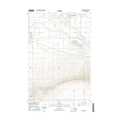
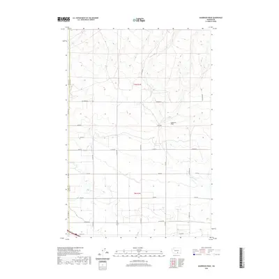
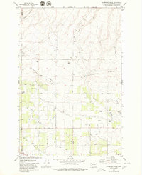 1979 Sagebrush Ridge1980 Print · USGSThe Yakima and Benton County line in the late seventies is defined by a high-desert landscape of irrigation canals and family-named roads. Genealogists and local historians can trace rural property markers like the Anderson Ranch and technical landmarks such as the Grandview Substation and Roza Canal.2 unique versions available
 - 2011 Map of Mabton East, 2011 Print
 2011 Mabton East2011 Print · USGSCovers Grandview, including Mabton, Yakima County, and other nearby areas
 - 2011 Map of Grandview, 2011 Print
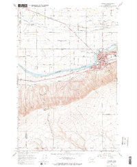
 2011 Grandview2011 Print · USGSCovers Grandview, including Sunnyside, Lichty, and other nearby areas
 - 2011 Map of Prosser, 2011 Print
 2011 Prosser2011 Print · USGSCovers Grandview, including Prosser, Apricot, and other nearby areas
 - 2011 Map of Sagebrush Ridge, 2011 Print
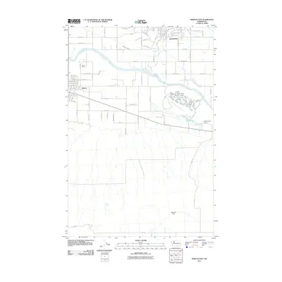
 2011 Sagebrush Ridge2011 Print · USGSCovers Grandview, including Yakima County, Benton County, and other nearby areas
 - 2013 Map of Prosser, 2013 Print
 2013 Prosser2013 Print · USGSCovers Grandview, including Prosser, Apricot, and other nearby areas
 - 2013 Map of Mabton East, 2013 Print
 2013 Mabton East2013 Print · USGSCovers Grandview, including Mabton, Yakima County, and other nearby areas
 - 2013 Map of Sagebrush Ridge, 2013 Print
 2013 Sagebrush Ridge2013 Print · USGSCovers Grandview, including Yakima County, Benton County, and other nearby areas
 - 2014 Map of Grandview, 2014 Print
 2014 Grandview2014 Print · USGSCovers Grandview, including Sunnyside, Lichty, and other nearby areas
 - 2017 Map of Prosser, 2017 Print
 2017 Prosser2017 Print · USGSCovers Grandview, including Prosser, Apricot, and other nearby areas
 - 2017 Map of Sagebrush Ridge, 2017 Print
 2017 Sagebrush Ridge2017 Print · USGSCovers Grandview, including Yakima County, Benton County, and other nearby areas
 - 2017 Map of Mabton East, 2017 Print
 2017 Mabton East2017 Print · USGSCovers Grandview, including Mabton, Yakima County, and other nearby areas
 - 2017 Map of Grandview, 2017 Print
 2017 Grandview2017 Print · USGSCovers Grandview, including Sunnyside, Lichty, and other nearby areas
 - 2020 Map of Grandview, 2020 Print
 2020 Grandview2020 Print · USGSCovers Grandview, including Sunnyside, Lichty, and other nearby areas
 - 2020 Map of Sagebrush Ridge, 2020 Print
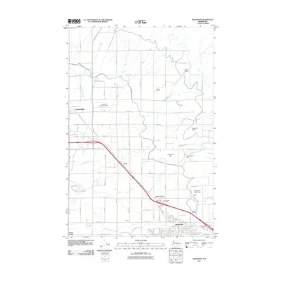
 2020 Sagebrush Ridge2020 Print · USGSCovers Grandview, including Yakima County, Benton County, and other nearby areas
Showing maps 1-25 of 31
Top cities near Grandview
Top neighborhoods of Grandview
Frequently asked questions
- What are the different types of historical maps available for Grandview?
- What is the oldest map of Grandview?
- Where can I purchase historical maps of Grandview for my home or office?
- Where can I download high-res historical maps of Grandview?
- Are there historical topographic maps available for Grandview?
- Is there historical aerial imagery available for Grandview?
- Where are historical maps of Grandview sourced from?