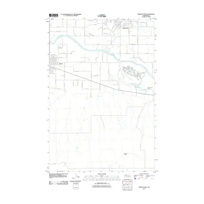
2011 Map of Mabton East
USGS Topo · Published 2011About this map
The Yakima River meanders across this portion of the Yakima Valley, serving as the central geographic feature between the growing communities of Grandview and Mabton. This 2011 survey captures the transition from the dense residential and agricultural grid of the north to the more open, arid expanses of the south. In the northern reaches, a complex network of named roads like Belma Rd and Grandridge Rd supports the region's productive agricultural character, while the Mathieson Lateral indicates the importance of irrigation in this landscape. To the southeast, the Byron Ponds and the associated Byron Ponds Dam provide a distinct contrast to the surrounding terrain. Genealogists and local researchers can locate the Mabton Cemetery north of the town site, while the southern half of the map is dominated by the broad, natural features of Missouri Flats and Cherry Spring.
Find a feature on this map
84 named features on this map. Tap any name to fly to it.
Don’t see what you’re looking for? This feature index may not catch every label — zoom into the map to look around manually.
Map Details
Editions of this 2011 Mabton East Map
This is the sole edition of this map. No revisions or reprints were ever made.
Other maps of this area

1910 · Zillah
USGS Topo · 1:125,000

1915 · Prosser
USGS Topo · 1:125,000

1917 · Prosser
USGS Topo · 1:125,000

1950 · Yakima
USGS Topo · 1:250,000

1950 · Grandview
USGS Topo · 1:62,500

1951 · Grandview
USGS Topo · 1:62,500

1953 · Walla Walla
USGS Topo · 1:250,000

1955 · Prosser SW
USGS Topo · 1:24,000

1958 · Walla Walla
USGS Topo · 1:250,000

1958 · Yakima
USGS Topo · 1:250,000