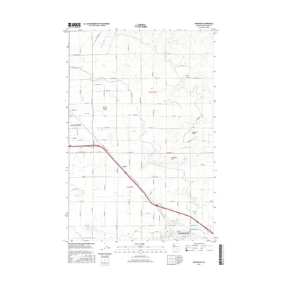
2017 Map of Grandview
USGS Topo · Published 2017About this map
Grandview and Sunnyside anchor this survey of Yakima County, highlighting the complex irrigation network vital to the region's agricultural character. The Sunnyside Canal and its numerous branches, such as the E Turbine Lateral and W Turbine Lateral, weave through the landscape between the settlements of Lichty and the hills. This intricate water management system transformed the arid environment into a productive corridor, now punctuated by features like the Sunnyside Municipal Airport and the elevated terrain of Grandview Butte.
Find a feature on this map
99 named features on this map. Tap any name to fly to it.
Don’t see what you’re looking for? This feature index may not catch every label — zoom into the map to look around manually.
Map Details
Editions of this 2017 Grandview Map
This is the sole edition of this map. No revisions or reprints were ever made.
Other maps of this area

1910 · Zillah
USGS Topo · 1:125,000

1915 · Prosser
USGS Topo · 1:125,000

1917 · Prosser
USGS Topo · 1:125,000

1950 · Yakima
USGS Topo · 1:250,000

1950 · Grandview
USGS Topo · 1:62,500

1951 · Grandview
USGS Topo · 1:62,500

1953 · Walla Walla
USGS Topo · 1:250,000

1958 · Walla Walla
USGS Topo · 1:250,000

1958 · Yakima
USGS Topo · 1:250,000

1961 · Yakima
USGS Topo · 1:250,000