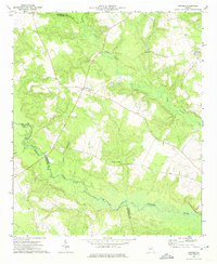
1972 Map of Grange
USGS Topo · Published 1974About this map
Grange serves as the central hub of this rural landscape in the early 1970s, where small settlements are defined by their proximity to water and local congregations. The community around Stapletons Crossroads and the various churches, including New Hope Ch, Providence Ch, and Magnolia Ch, speak to the distributed nature of social life in this portion of eastern Georgia. The terrain is deeply carved by the Ogeechee River and its numerous tributaries such as Rocky Comfort Creek and Juniper Br. These waterways, along with Ivey Branch and Camp Branch, provide a natural skeleton for the county boundaries between Glascock, Jefferson, and Washington. This topographic study reveals a quiet agricultural era, documenting the precise placement of rural homesteads and cemeteries that reflect generations of local settlement.
Find a feature on this map
15 named features on this map. Tap any name to fly to it.
Don’t see what you’re looking for? This feature index may not catch every label — zoom into the map to look around manually.
Map Details
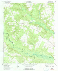
Editions of this 1972 Grange Map
2 editions found
Other maps of this area

1920 · Stapleton
USGS Topo · 1:62,500

1948 · Stapleton
USGS Topo · 1:62,500

1948 · Louisville
USGS Topo · 1:24,000

1950 · Louisville
USGS Topo · 1:24,000

1950 · Wrens
USGS Topo · 1:24,000

1953 · Athens
USGS Topo · 1:250,000

1957 · Macon
USGS Topo · 1:250,000

1958 · Macon
USGS Topo · 1:250,000

1958 · Athens
USGS Topo · 1:250,000

1959 · Athens
USGS Topo · 1:250,000