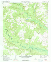
1972 Map of Grange
USGS Topo · Published 1991About this map
Grange serves as the focal point of this rural landscape in eastern Georgia, situated near the intersection of several county boundaries. The Ogeechee River meanders through the southern half of the quadrangle, joined by tributaries such as Camp Branch and May Br. The social geography of the early 1970s is clearly defined by its rural congregations, including New Hope Ch, Magnolia Ch, and Hardman-Springfield Ch. These church locations often functioned as the primary community hubs for the surrounding farmsteads. To the northeast, Stapletons Crossroads marks another important local junction. The map illustrates a landscape of intermittent wetlands and creek bottoms, particularly along Rocky Comfort Creek, which flows south from the Glascock and Jefferson County line toward the larger river system.
Find a feature on this map
14 named features on this map. Tap any name to fly to it.
Don’t see what you’re looking for? This feature index may not catch every label — zoom into the map to look around manually.
Map Details
Editions of this 1972 Grange Map
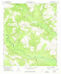
2 editions found
Other maps of this area

1920 · Stapleton
USGS Topo · 1:62,500

1948 · Stapleton
USGS Topo · 1:62,500

1948 · Louisville
USGS Topo · 1:24,000

1950 · Louisville
USGS Topo · 1:24,000

1950 · Wrens
USGS Topo · 1:24,000

1953 · Athens
USGS Topo · 1:250,000

1957 · Macon
USGS Topo · 1:250,000

1958 · Macon
USGS Topo · 1:250,000

1958 · Athens
USGS Topo · 1:250,000

1959 · Athens
USGS Topo · 1:250,000