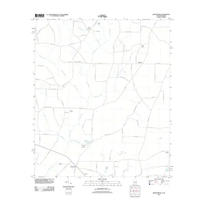
2011 Map of Grangeburg
USGS Topo · Published 2011About this map
Grangeburg anchors this southeastern Alabama landscape, a crossroads community defined by its agricultural character and the tributaries of the Chattahoochee River system. The area is marked by numerous family and community landmarks, including the Clayton Ch and its neighboring Clayton Cemetery, alongside the Antioch Cemetery to the west. Water plays a central role in the local geography, with Bazemores Mill Lake and its associated Bazemore Mill Lake Dam serving as a prominent feature on the Bazemores Mill Branch.
Find a feature on this map
77 named features on this map. Tap any name to fly to it.
Don’t see what you’re looking for? This feature index may not catch every label — zoom into the map to look around manually.
Map Details
Editions of this 2011 Grangeburg Map
This is the sole edition of this map. No revisions or reprints were ever made.
Other maps of this area

1952 · Malone
USGS Topo · 1:24,000

1952 · Bascom
USGS Topo · 1:24,000

1952 · Sills
USGS Topo · 1:24,000

1953 · Dothan
USGS Topo · 1:250,000

1954 · Dothan
USGS Topo · 1:250,000

1954 · Tallahassee
USGS Topo · 1:250,000

1955 · Dothan
USGS Topo · 1:250,000

1959 · Tallahassee
USGS Topo · 1:250,000

1960 · Tallahassee
USGS Topo · 1:250,000

1969 · Dothan East
USGS Topo · 1:24,000