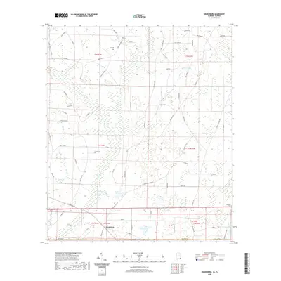
2020 Map of Grangeburg
USGS Topo · Published 2020About this map
Grangeburg sits at the southern edge of Houston County, Alabama, marking a point where the agricultural landscape meets the Florida state line. The terrain is characterized by a network of small creeks and stagnant water bodies, including Little Rocky Cr and Bruners Gin Cr, which feed into larger impoundments like Bazemores Mill Lake. The settlement pattern is defined by rural road networks such as Cottonwood Rd and Old US Rd, with several family and community landmarks providing a sense of historical depth. Genealogists can identify significant burial sites including Rocky Creek Cem, Clayton Cem, and Antioch Cem. The landscape transitions into wetter lowlands near the border, evidenced by Mikes Bay and several named ponds, including Indigo Pond and Florida Pond, which sit just north of the Jackson County line.
Find a feature on this map
82 named features on this map. Tap any name to fly to it.
Don’t see what you’re looking for? This feature index may not catch every label — zoom into the map to look around manually.
Map Details
Editions of this 2020 Grangeburg Map
This is the sole edition of this map. No revisions or reprints were ever made.
Other maps of this area

1952 · Malone
USGS Topo · 1:24,000

1952 · Bascom
USGS Topo · 1:24,000

1952 · Sills
USGS Topo · 1:24,000

1953 · Dothan
USGS Topo · 1:250,000

1954 · Dothan
USGS Topo · 1:250,000

1954 · Tallahassee
USGS Topo · 1:250,000

1955 · Dothan
USGS Topo · 1:250,000

1959 · Tallahassee
USGS Topo · 1:250,000

1960 · Tallahassee
USGS Topo · 1:250,000

1969 · Dothan East
USGS Topo · 1:24,000