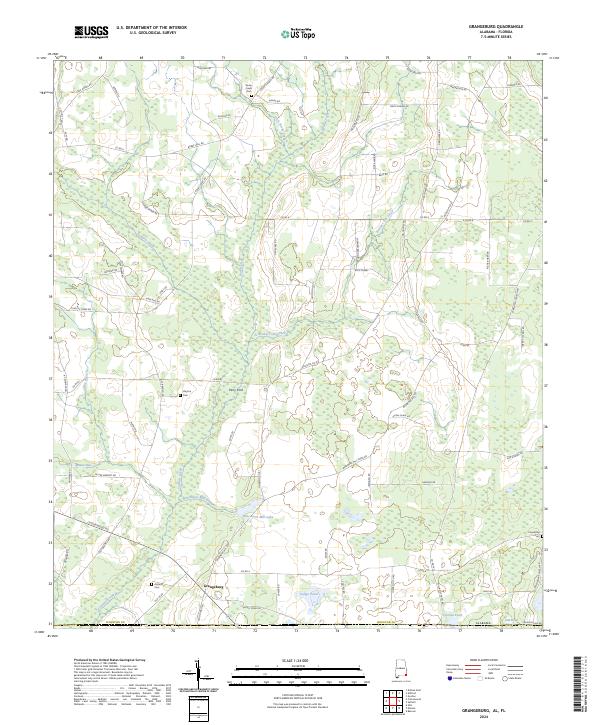
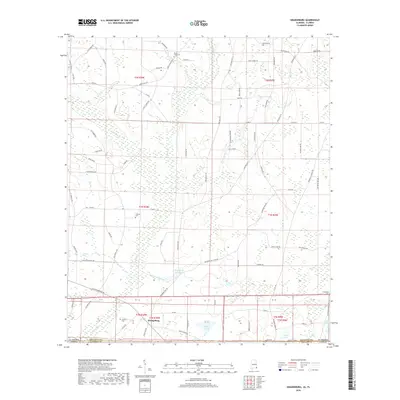
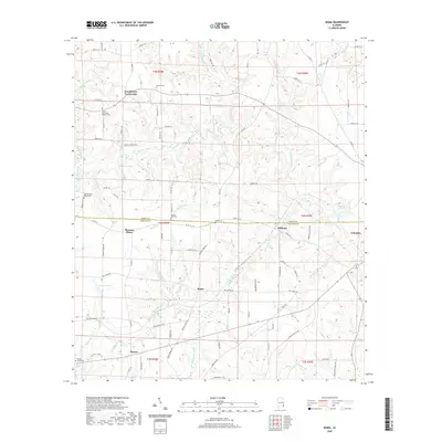
2024 Map of Grangeburg
USGS Topo · Published 2024About this map
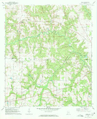
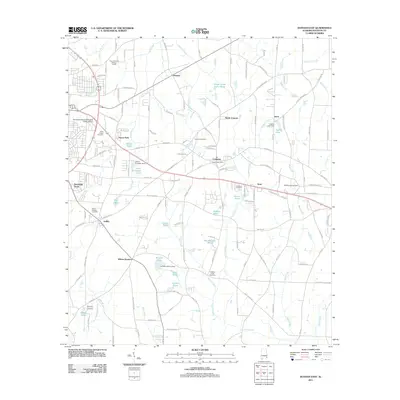
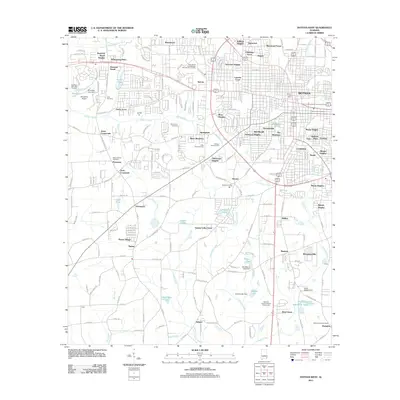
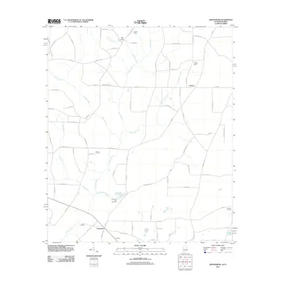
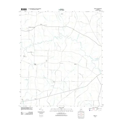
Grangeburg anchors the southern landscape of this Houston County region, situated just north of the Florida state line where the coastal plain is defined by a dense network of slow-moving waterways and agricultural clearings. The area's early settlement patterns are visible through family-named locations and small rural hubs like Perry Ford and Friendship. Historically significant burial sites, including the Antioch Cem and Rocky Creek Cem, are scattered across the landscape, often associated with early community centers that evolved around the local hydrology.
Find a feature on this map
87 named features on this map. Tap any name to fly to it.
Don’t see what you’re looking for? This feature index may not catch every label — zoom into the map to look around manually.
Map Details
Editions of this 2024 Grangeburg Map
This is the sole edition of this map. No revisions or reprints were ever made.
Historical Maps of Grangeburg Through Time
24 maps found
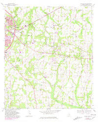
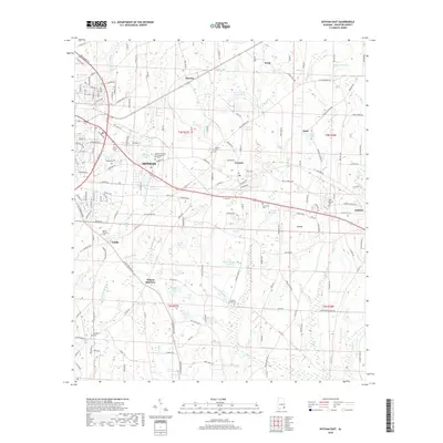
1969 Dothan East
Houston County, AL
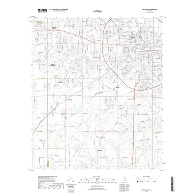
1969 Dothan West
Houston County, AL
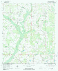
1970 Grangeburg
Houston County, AL
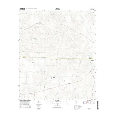
1970 Sigma
Houston County, AL
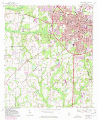
2011 Dothan East
Houston County, AL
2011 Dothan West
Houston County, AL
2011 Grangeburg
Houston County, AL
2011 Sigma
Houston County, AL
2014 Dothan East
Houston County, AL
2014 Dothan West
Houston County, AL
2014 Grangeburg
Houston County, AL
2014 Sigma
Houston County, AL
2018 Dothan East
Houston County, AL
2018 Dothan West
Houston County, AL
2018 Grangeburg
Houston County, AL
2018 Sigma
Houston County, AL
2020 Dothan East
Houston County, AL
2020 Dothan West
Houston County, AL
2020 Grangeburg
Houston County, AL
2020 Sigma
Houston County, AL
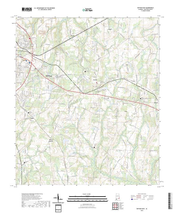
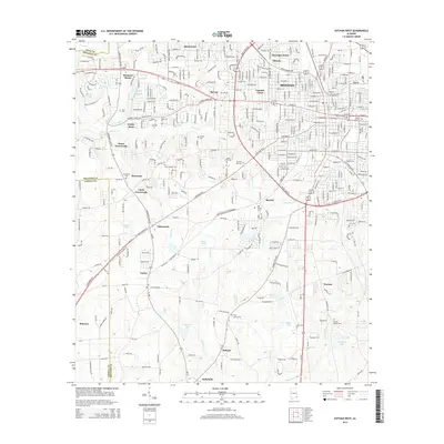
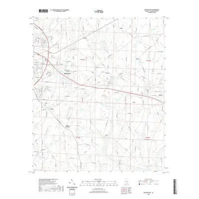
2024 Dothan East
Houston County, AL
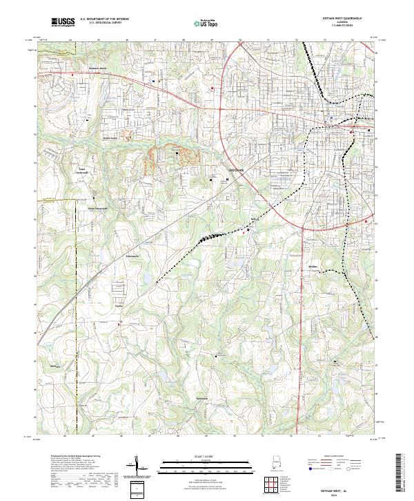
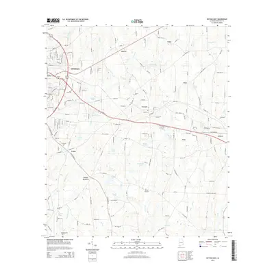
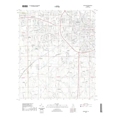
2024 Dothan West
Houston County, AL
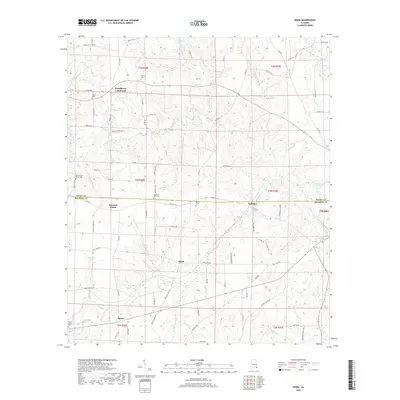
2024 Grangeburg
Houston County, AL
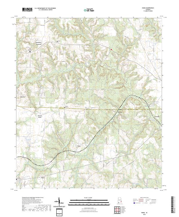
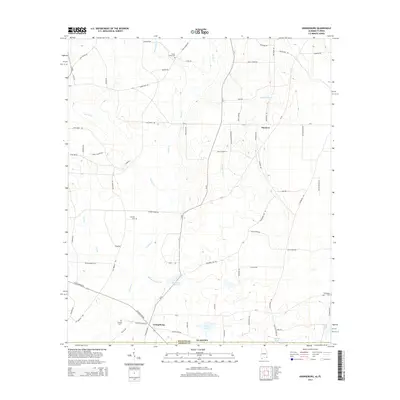
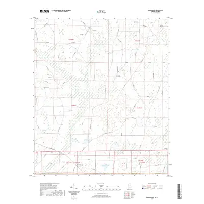
2024 Sigma
Houston County, AL