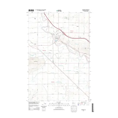
2013 Map of Granger
USGS Topo · Published 2013About this map
The Yakima River meanders through the heart of the Yakima Valley, defining a landscape of intensive irrigation and agricultural settlements. Centered on the town of Granger, this survey illustrates the complex water management network essential to the region, including the Toppenish Drain, Durham Lateral, and Foster Drain. The terrain is bounded by the significant elevations of Toppenish Ridge to the southwest and Snipes Mtn to the east, which frame the fertile lowlands. Local labor and commerce are anchored by sites such as the Granger Farm Labor Camp and several small rural communities like Crewport, Liberty, and Alfalfa. This modern topographic record captures the established road grid and the vital Granger Interchange, showing how transportation and water infrastructure have shaped this Washington farming hub.
Find a feature on this map
88 named features on this map. Tap any name to fly to it.
Don’t see what you’re looking for? This feature index may not catch every label — zoom into the map to look around manually.
Map Details
Editions of this 2013 Granger Map
This is the sole edition of this map. No revisions or reprints were ever made.
Other maps of this area

1910 · Zillah
USGS Topo · 1:125,000

1950 · Yakima
USGS Topo · 1:250,000

1958 · Hembre Mtn
USGS Topo · 1:24,000
1958 · Toppenish
USGS Topo · 1:24,000

1958 · Yakima
USGS Topo · 1:250,000

1961 · Yakima
USGS Topo · 1:250,000
1964 · Granger NE
USGS Topo · 1:24,000
1965 · Bluelight NW
USGS Topo · 1:24,000
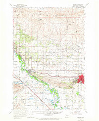
1965 · Granger
USGS Topo · 1:62,500
1965 · Poisel Butte
USGS Topo · 1:62,500