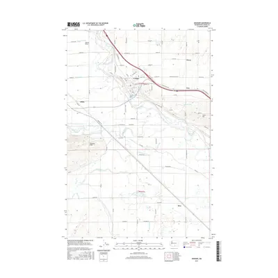
2017 Map of Granger
USGS Topo · Published 2017About this map
The Yakima River defines the central corridor of this Yakima County landscape, where the settlement of Granger serves as a focal point for the surrounding agricultural valley. The map reveals a sophisticated irrigation and drainage network essential to the region, including the Toppenish Drain, Granger Drain, and Foster Drain. To the southeast, the terrain rises toward Snipes Mtn, while the southern portion of the quadrangle transitions into the open lands around Satus. This 2017 survey shows the modern footprint of transportation through the Yakima Valley, centered on the Inland Empire Hwy and a grid of rural roads like Van Belle Rd and Cherry Hill Rd. Smaller named locales such as Alfalfa and Nass are situated alongside long-established water features like Toppenish Creek and Satus Creek, reflecting the historic settlement patterns of the Lower Yakima Valley.
Find a feature on this map
83 named features on this map. Tap any name to fly to it.
Don’t see what you’re looking for? This feature index may not catch every label — zoom into the map to look around manually.
Map Details
Editions of this 2017 Granger Map
This is the sole edition of this map. No revisions or reprints were ever made.
Other maps of this area

1910 · Zillah
USGS Topo · 1:125,000

1950 · Yakima
USGS Topo · 1:250,000

1958 · Hembre Mtn
USGS Topo · 1:24,000
1958 · Toppenish
USGS Topo · 1:24,000

1958 · Yakima
USGS Topo · 1:250,000

1961 · Yakima
USGS Topo · 1:250,000
1964 · Granger NE
USGS Topo · 1:24,000
1965 · Bluelight NW
USGS Topo · 1:24,000
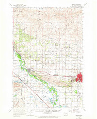
1965 · Granger
USGS Topo · 1:62,500
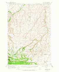
1965 · Poisel Butte
USGS Topo · 1:62,500