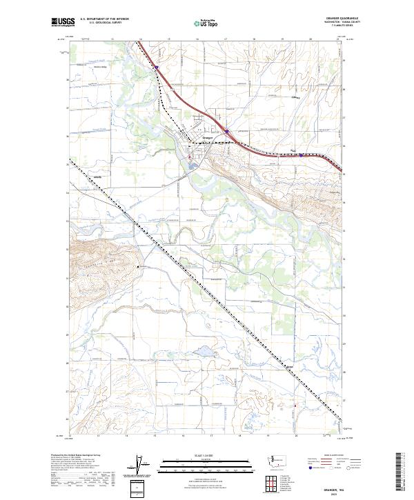
2023 Map of Granger
USGS Topo · Published 2023About this map
The Yakima River winds through the heart of the Yakima Valley, defining the agricultural and ecological character of this region. The city of Granger serves as the primary hub, surrounded by a complex network of irrigation and drainage infrastructure including the Granger Drain, Durham Lateral, and Marion Drain. These systems supported the conversion of valley floor lands into productive acreage, while the Toppenish National Wildlife Refuge preserves the natural wetland character in the south near Satus.
Find a feature on this map
89 named features on this map. Tap any name to fly to it.
Don’t see what you’re looking for? This feature index may not catch every label — zoom into the map to look around manually.
Map Details
Editions of this 2023 Granger Map
This is the sole edition of this map. No revisions or reprints were ever made.
Other maps of this area

1910 · Zillah
USGS Topo · 1:125,000

1950 · Yakima
USGS Topo · 1:250,000

1958 · Hembre Mtn
USGS Topo · 1:24,000
1958 · Toppenish
USGS Topo · 1:24,000

1958 · Yakima
USGS Topo · 1:250,000

1961 · Yakima
USGS Topo · 1:250,000
1964 · Granger NE
USGS Topo · 1:24,000
1965 · Bluelight NW
USGS Topo · 1:24,000
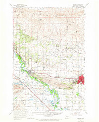
1965 · Granger
USGS Topo · 1:62,500
1965 · Poisel Butte
USGS Topo · 1:62,500