Loading...
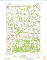
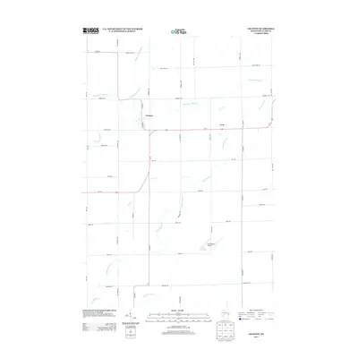
Loading map...1954 Map of Granton
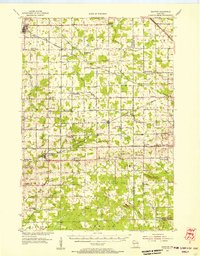
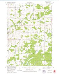
USGS Topo · Published 1975About this map
Loyal and Granton serve as primary hubs in this mid-century survey of Clark County, where a dense network of country schools and rural post offices defines the social geography. The landscape is heavily marked by its proximity to several rail lines, including the Minneapolis St Paul and Sault Ste Marie and the Chicago and North Western, which supported small trackside settlements like Veefkind and Chili.
Find a feature on this map
68 named features on this map. Tap any name to fly to it.
Don’t see what you’re looking for? This feature index may not catch every label — zoom into the map to look around manually.
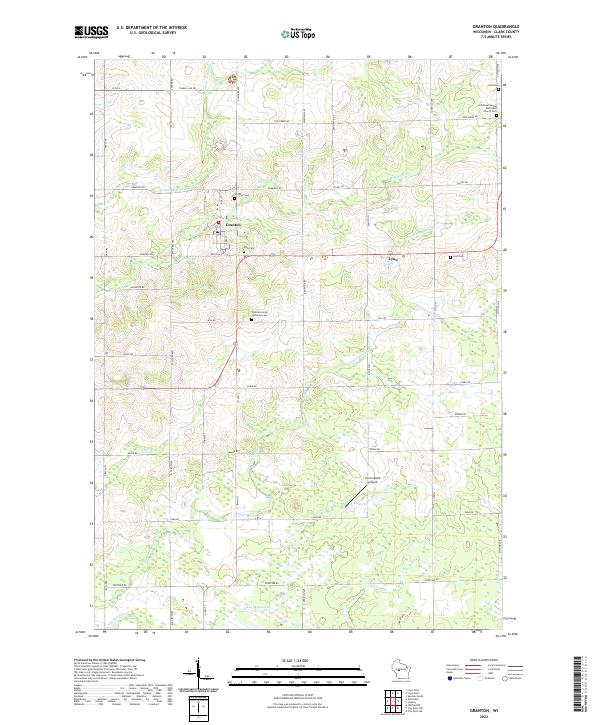
Map Details
Date Portrayed1954
Date Published1975
PublisherU.S. Geological Survey
Map TypeTopographic
Scale1:62,500
Physical Dimensions17.56 x 22.15 inches
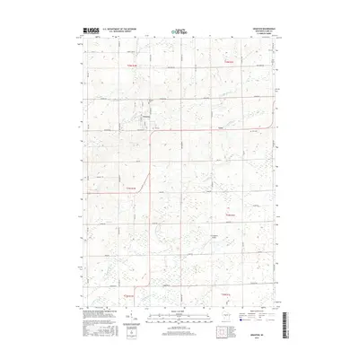
Editions of this 1954 Granton Map
2 editions found
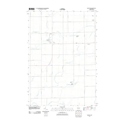
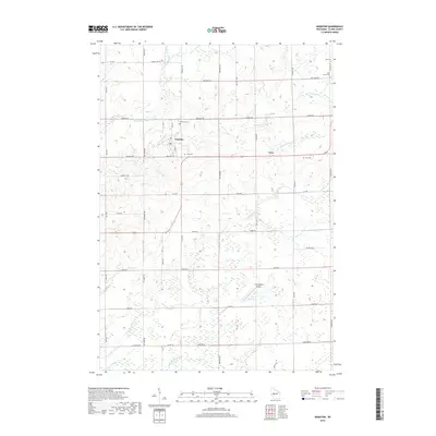
Historical Maps of Spencer Through Time
7 maps found
Featured Locations
Source Details
SourceU.S. Geological Survey
CopyrightPublic Domain