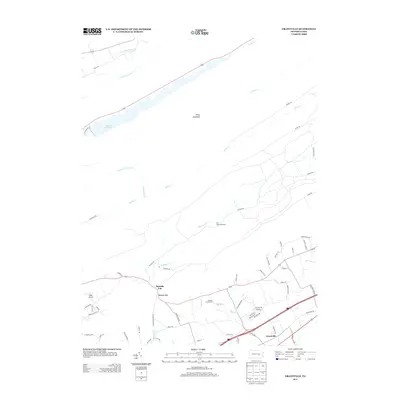
2013 Map of Grantville
USGS Topo · Published 2013About this map
Stony Mountain dominates the landscape of East Hanover Township, where the ridgelines of central Pennsylvania create a distinct northeast-southwest topographical grain. The area's hydrology is defined by the DeHart Reservoir and a complex network of streams including Stony Cr, Manada Cr, and N Fork Powells Cr. These valleys have long dictated the movement of people, from the primitive footpaths of the Appalachian Trl E to the established road networks connecting the settlement at Grantville.
Find a feature on this map
67 named features on this map. Tap any name to fly to it.
Don’t see what you’re looking for? This feature index may not catch every label — zoom into the map to look around manually.
Map Details
Editions of this 2013 Grantville Map
This is the sole edition of this map. No revisions or reprints were ever made.
Other maps of this area

1892 · Lykens
USGS Topo · 1:62,500

1892 · Hummelstown
USGS Topo · 1:62,500

1892 · Harrisburg
USGS Topo · 1:62,500

1893 · Lykens
USGS Topo · 1:62,500

1893 · Millersburg
USGS Topo · 1:62,500

1899 · Harrisburg
USGS Topo · 1:62,500

1924 · Hummelstown
USGS Topo · 1:62,500

1924 · Harrisburg
USGS Topo · 1:62,500

1943 · Millersburg
USGS Topo · 1:62,500

1943 · Lykens
USGS Topo · 1:62,500
Featured Places
- East Hanover Township, PA
- Cold Spring Township, PA
- East Hanover Township, PA
- Manada Gap, East Hanover Township
- Grantville, East Hanover Township