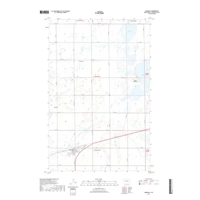
2017 Map of Granville
USGS Topo · Published 2017About this map
Granville serves as the primary hub for this McHenry County landscape, oriented around a grid of streets including 6th St and Main St. The local cemetery, Granville Cem, is located just northeast of the town center. The surrounding terrain is defined by the interconnected waters of Buffalo Lodge Lake and North Lake, which are bordered by the prominent rise of Buffalo Lodge Butte. This survey illustrates a characteristic Great Plains drainage pattern, where seasonal waterways like Hay Coulee and the meandering Egg Creek navigate the undulating prairie. The map records a dense network of sectional roads, such as 66th St N and Co Rd 1, which facilitate access to the agricultural lands between South Egg Creek and the various marshy basins that dot the region.
Find a feature on this map
30 named features on this map. Tap any name to fly to it.
Don’t see what you’re looking for? This feature index may not catch every label — zoom into the map to look around manually.
Map Details
Editions of this 2017 Granville Map
This is the sole edition of this map. No revisions or reprints were ever made.
Other maps of this area
1948 · Velva
USGS Topo · 1:62,500
1949 · Norwich
USGS Topo · 1:24,000
1949 · Granville NE
USGS Topo · 1:24,000
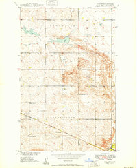
1949 · Simcoe
USGS Topo · 1:24,000
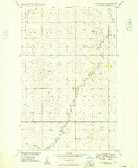
1949 · Granville NW
USGS Topo · 1:24,000
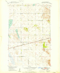
1949 · Riga
USGS Topo · 1:24,000
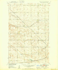
1949 · Granville SW
USGS Topo · 1:24,000
1949 · Karlsruhe NW
USGS Topo · 1:24,000
1949 · Granville
USGS Topo · 1:24,000
1950 · Bantry NW
USGS Topo · 1:24,000