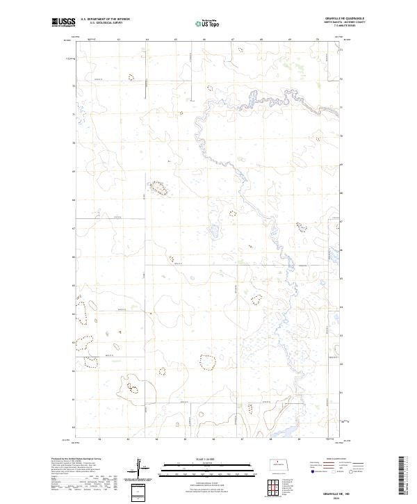
2024 Map of Granville NE
USGS Topo · Published 2024About this map
Cut Bank Creek winds through this section of McHenry County, defining the drainage patterns of an otherwise open prairie landscape. The area is organized by a strict grid of section lines and gravel routes, with north-south corridors like 12th Ave N and 10th Ave N intersecting with east-west roads such as 74th St N and 67th St N. While the region is characterized by agricultural and wetland features, Co Rd 1 serves as a primary local connector. The topography is relatively level, marked by numerous small depressions and basins typical of the northern plains, offering a clear view of the rural township structure including t158n r79w and t157n r78w.
Find a feature on this map
16 named features on this map. Tap any name to fly to it.
Don’t see what you’re looking for? This feature index may not catch every label — zoom into the map to look around manually.
Map Details
Editions of this 2024 Granville NE Map
This is the sole edition of this map. No revisions or reprints were ever made.
Other maps of this area

1948 · Newburg SW
USGS Topo · 1:24,000

1949 · Granville NE
USGS Topo · 1:24,000

1949 · Newburg SW
USGS Topo · 1:24,000

1949 · Granville NW
USGS Topo · 1:24,000

1949 · Riga
USGS Topo · 1:24,000

1949 · Granville SW
USGS Topo · 1:24,000

1949 · Granville
USGS Topo · 1:24,000

1950 · Upham
USGS Topo · 1:24,000

1950 · Newburg SE
USGS Topo · 1:24,000

1950 · Bantry NW
USGS Topo · 1:24,000