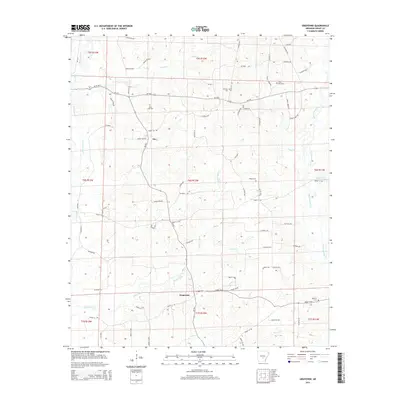
2014 Map of Grapevine
USGS Topo · Published 2014About this map
White Oak Creek and Caney Creek converge in this rural expanse of Grant County, where the small community of Ain serves as a central landmark. The landscape is defined by a dense network of tributaries including Deer Creek, Hurricane Creek, and the winding Derrieusseaux Creek. This 2014 survey documents a region where transportation is dictated by the undulating terrain, with Ar-35 S and Ar-190 E providing the primary transit corridors through the wooded bottoms. Genealogy researchers will find significant value in the distribution of family and community burial sites, from Saint John Cemetery near the northern border to White Cemetery and Raymick Cemetery further south. These sites, often positioned on slightly higher ground near crossings, reflect the localized settlement patterns that have persisted in this corner of Arkansas for generations.
Find a feature on this map
74 named features on this map. Tap any name to fly to it.
Don’t see what you’re looking for? This feature index may not catch every label — zoom into the map to look around manually.
Map Details
Editions of this 2014 Grapevine Map
This is the sole edition of this map. No revisions or reprints were ever made.
Other maps of this area

1932 · Pastoria
USGS Topo · 1:62,500

1935 · Pastoria
USGS Topo · 1:62,500

1955 · Little Rock
USGS Topo · 1:250,000

1956 · Little Rock
USGS Topo · 1:250,000

1960 · Little Rock
USGS Topo · 1:250,000

1962 · Pine Bluff NW
USGS Topo · 1:24,000

1962 · Kedron
USGS Topo · 1:24,000

1964 · Little Rock
USGS Topo · 1:250,000

1964 · Staves
USGS Topo · 1:24,000

1964 · Sheridan
USGS Topo · 1:24,000