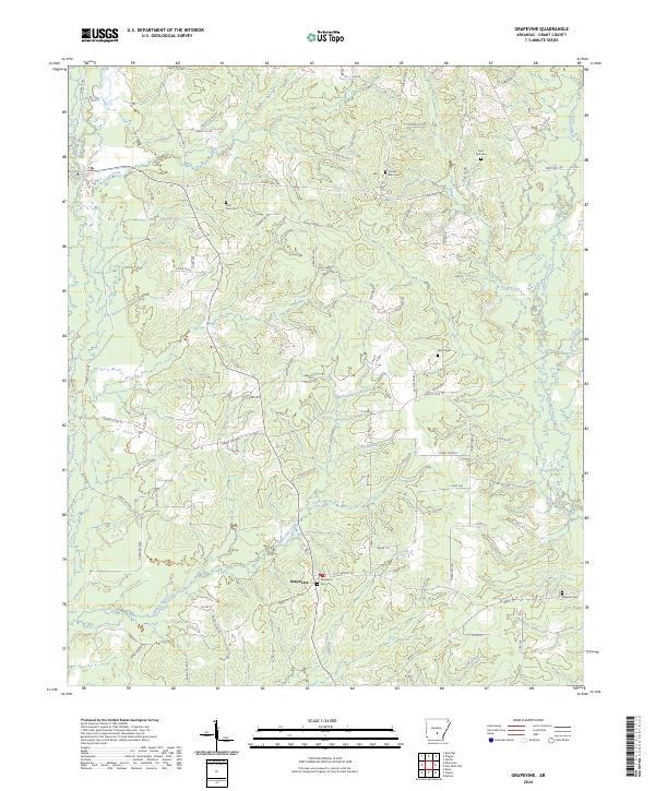
2024 Map of Grapevine
USGS Topo · Published 2024About this map
Grapevine anchors this rural landscape in Grant County, Arkansas, where a network of forest roads and county routes crisscrosses a terrain defined by its dense drainage system. The settlement's history is preserved in local landmarks such as Grapevine Cem, while other family and community heritage sites like Saint Paul Cem, Mount Zion Cem, and Raymick Cem are scattered throughout the surrounding townships. Numerous waterways, including the meandering Hurricane Creek and Derrieusseaux Creek, dictate the movement of roads like State Hwy 190. The area is heavily managed forest land, evidenced by the extensive grid of routes such as Forest Rd 9221 and Forest Rd 9213, which provide access to the timber-rich reaches between White Oak Creek and Clegg Creek.
Find a feature on this map
92 named features on this map. Tap any name to fly to it.
Don’t see what you’re looking for? This feature index may not catch every label — zoom into the map to look around manually.
Map Details
Editions of this 2024 Grapevine Map
This is the sole edition of this map. No revisions or reprints were ever made.
Other maps of this area

1932 · Pastoria
USGS Topo · 1:62,500

1935 · Pastoria
USGS Topo · 1:62,500

1955 · Little Rock
USGS Topo · 1:250,000

1956 · Little Rock
USGS Topo · 1:250,000

1960 · Little Rock
USGS Topo · 1:250,000

1962 · Pine Bluff NW
USGS Topo · 1:24,000

1962 · Kedron
USGS Topo · 1:24,000

1964 · Little Rock
USGS Topo · 1:250,000

1964 · Staves
USGS Topo · 1:24,000

1964 · Sheridan
USGS Topo · 1:24,000