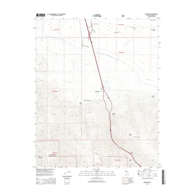
2015 Map of Grapevine
USGS Topo · Published 2015About this map
Grapevine marks the critical transition where the floor of the San Joaquin Valley meets the high elevations of the San Emigdio Mountains. This landscape is defined by the massive infrastructure of the Governor Edmund G Brown California Aqueduct, which skirts the northern foothills before the terrain rises sharply into the Los Padres National Forest. The geography here is a series of dramatic drainages including Grapevine Canyon, Metralla Canyon, and Reed Canyon that cut through the steep slopes leading toward Grapevine Peak. Local aviation and industry are represented by the Tejon Ag Airport and the Tejon Industrial Pkway Dr, illustrating the corridor's dual role as a high-altitude passage and an agricultural gateway. The map also traces the winding course of Grapevine Creek as it descends through the Castac Valley toward the northern plains.
Find a feature on this map
34 named features on this map. Tap any name to fly to it.
Don’t see what you’re looking for? This feature index may not catch every label — zoom into the map to look around manually.
Map Details
Editions of this 2015 Grapevine Map
This is the sole edition of this map. No revisions or reprints were ever made.
Other maps of this area
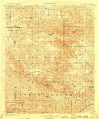
1903 · Mt. Pinos
USGS Topo · 1:125,000
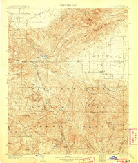
1903 · Tejon
USGS Topo · 1:125,000
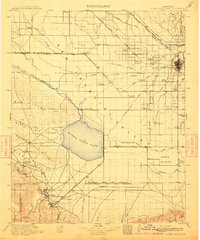
1910 · Buena Vista Lake
USGS Topo · 1:125,000
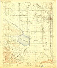
1912 · Buena Vista Lake
USGS Topo · 1:125,000
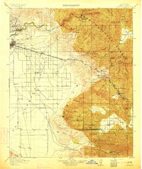
1914 · Caliente
USGS Topo · 1:125,000
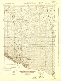
1931 · West of Tejon Hills
USGS Topo · 1:31,680
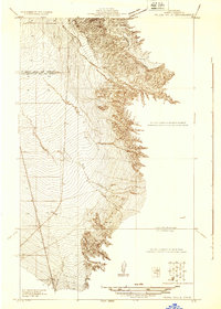
1931 · Tejon Hills
USGS Topo · 1:31,680
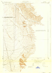
1933 · Tejon Hills
USGS Topo · 1:31,680
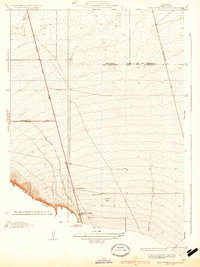
1934 · West of Tejon Hills
USGS Topo · 1:31,680
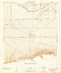
1934 · Coal Oil Canyon
USGS Topo · 1:31,680