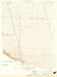
1934 Map of West of Tejon Hills
USGS Topo · Published 1934About this map
The Wheeler Ridge terrain dominates the southwestern corner of this mid-1930s Kern County landscape, where the San Joaquin Valley floor begins its dramatic rise. The map captures a critical juncture of early California infrastructure, centered on the intersection of the Golden State Highway and the Maricopa Road State Highway No 57. A notable point of geographic convergence occurs here at the meeting of the Mt Diablo Base and Meridian and the San Bernardino Base and Meridian, which serves as a foundational surveying boundary for the region.
Find a feature on this map
13 named features on this map. Tap any name to fly to it.
Don’t see what you’re looking for? This feature index may not catch every label — zoom into the map to look around manually.
Map Details
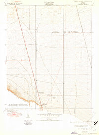
Editions of this 1934 West of Tejon Hills Map
2 editions found
Other maps of this area

1903 · Mt. Pinos
USGS Topo · 1:125,000

1903 · Tejon
USGS Topo · 1:125,000

1910 · Buena Vista Lake
USGS Topo · 1:125,000

1912 · Buena Vista Lake
USGS Topo · 1:125,000

1914 · Caliente
USGS Topo · 1:125,000

1930 · Weed Patch
USGS Topo · 1:31,680

1930 · Arvin
USGS Topo · 1:31,680

1930 · Conner
USGS Topo · 1:31,680

1931 · West of Tejon Hills
USGS Topo · 1:31,680

1931 · Tejon Hills
USGS Topo · 1:31,680