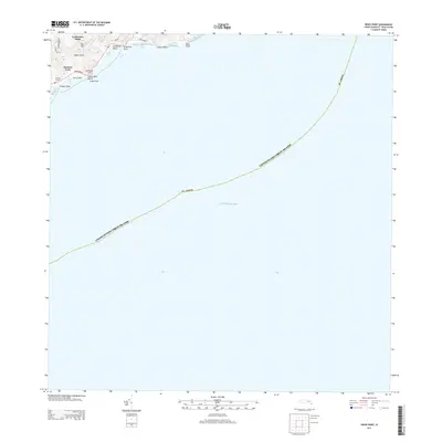
2013 Map of Grass Point
USGS Topo · Published 2013About this map
Catharinas Hope and the surrounding heights of Bee Hill overlook the southeastern coastline of Saint Croix in this coastal study. The map detail centers on a series of distinct inlets including Grapetree Bay, Jack Bay, and Isaac Bay, where the shoreline transitions between rocky points and sandy stretches like Grapetree Beach. Inland, small settlements such as Madame Carty and Fannys Fancy are reached by local routes like Southshore Rd and S Grape Tree Rd. The topography is defined by significant elevations like Pentheny Hill, which provides a vantage point over Turner Hole and the wider Caribbean Sea. This document captures the coastal landscape before modern shifts, preserving the placement of named landmarks from Carty Point to Pinham Point.
Find a feature on this map
27 named features on this map. Tap any name to fly to it.
Don’t see what you’re looking for? This feature index may not catch every label — zoom into the map to look around manually.
Map Details
Editions of this 2013 Grass Point Map
This is the sole edition of this map. No revisions or reprints were ever made.
Other maps of this area
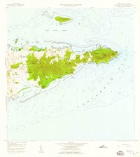
1958 · East Point
USGS Topo · 1:24,000
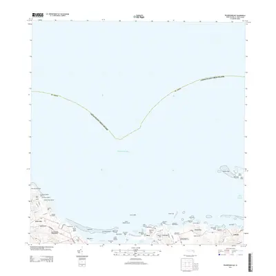
2013 · Beauregard Bay
USGS Topo · 1:20,000
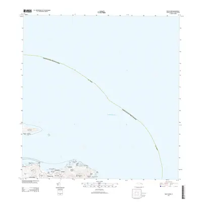
2013 · Buck Island
USGS Topo · 1:20,000
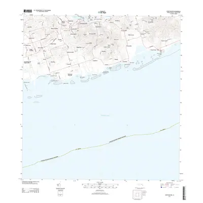
2013 · Christiansted
USGS Topo · 1:20,000
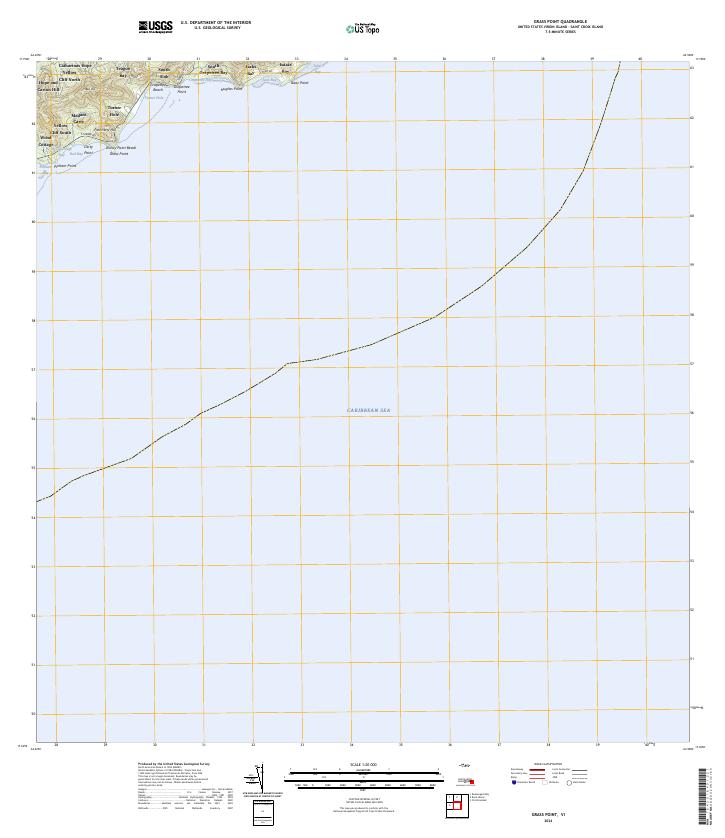
2024 · Grass Point
USGS Topo · 1:20,000
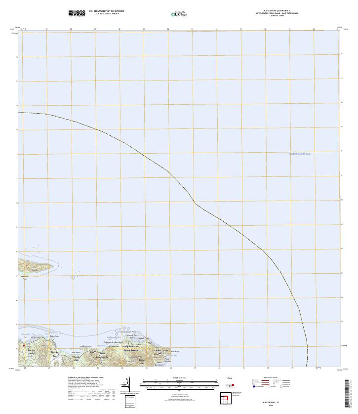
2024 · Buck Island
USGS Topo · 1:20,000
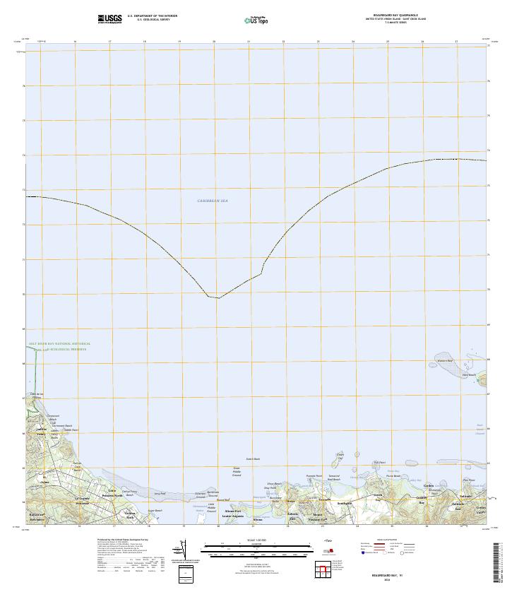
2024 · Beauregard Bay
USGS Topo · 1:20,000
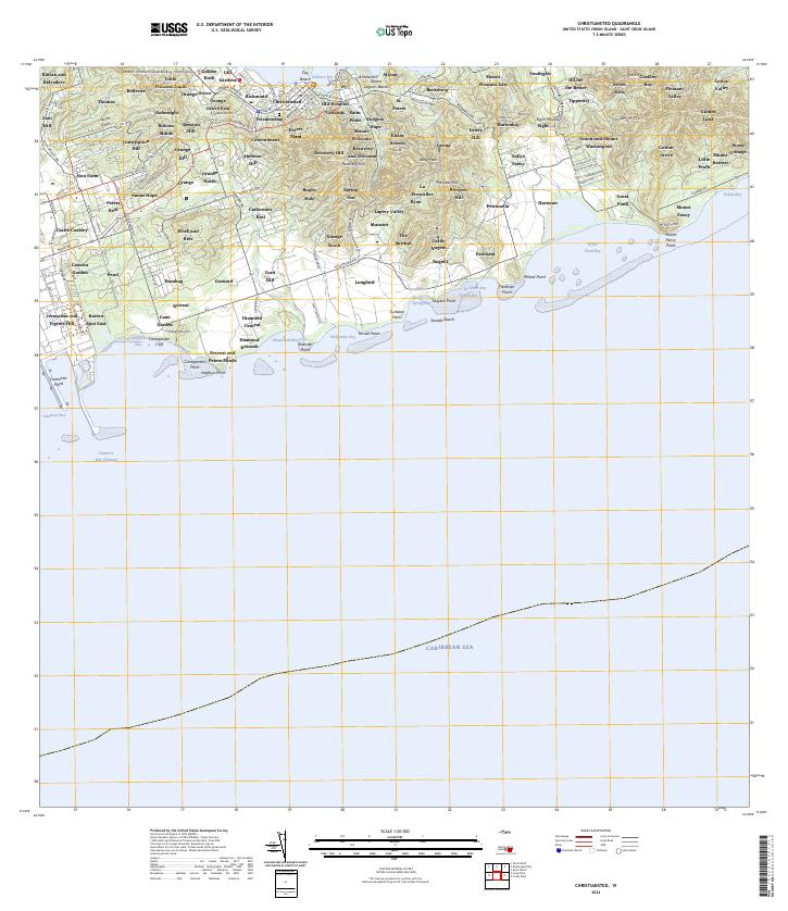
2024 · Christiansted
USGS Topo · 1:20,000
Featured Places
- Yellow Cliff, Saint Croix District
- South Slob, Saint Croix District
- Hope and Cartlon Hill, Saint Croix District
- Catharina's Hope, Saint Croix District
- Wood Cottage, Saint Croix District